(Panel 1)
During the War of 1812 the young United States was embroiled in conflict with Great Britain. From 1812 to 1815 Americans fought to protect their rights and economic independence. They faced superior enemy forces on the . . . — — Map (db m81262) HM
(Panel 1)
After occupying Alexandria for five days, the British withdrew down the Potomac River in early September 1814. To “annoy or destroy” the British ships, Americans established two gun batteries on opposite shores, about six miles . . . — — Map (db m237355) HM
(left panel)During the War of 1812 the young United States was embroiled in conflict with Great Britain. From 1812 to 1815 Americans fought to protect their rights and economic independence. They faced superior enemy forces . . . — — Map (db m233911) HM
(Panel 1)
During the War of 1812 the young United States was embroiled in conflict with Great Britain. From 1812 to 1815 Americans fought to protect their rights and economic independence. They faced superior enemy forces on the . . . — — Map (db m237353) HM
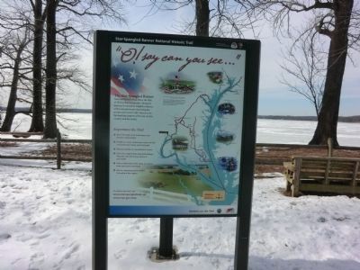
The Star-Spangled Banner National Historic Trail traces the War of 1812 in the Chesapeake. Along the trail you’ll encounter tangible evidence of the war and stories that bring the people and events to life. Discover the far-reaching impacts of . . . — — Map (db m97038) HM
To weaken the American economy, the British took tobacco and lured the enslaved labor force from plantations along the Potomac River. Physically fit males also provided the British with a valuable source of new recruits.
The British offered . . . — — Map (db m97035) HM
During the War of 1812 the young United States was embroiled in conflict with Great Britain. From 1812 to 1815 Americans fought to protect their rights and economic independence. They faced superior enemy forces on the homefront and the high seas. . . . — — Map (db m97037) HM
The Star-Spangled Banner National Historic Trail traces the War of 1812 in the Chesapeake. Along the trail you’ll encounter tangible evidence of the war and stories that bring the people and events to life. Discover the far-reaching impacts of . . . — — Map (db m97087) HM
The British mounted a series of devastating raids across Virginia’s Northern Neck during 1813 and 1814. They plundered the area’s rich tobacco lands, lured new recruits from among its dense population of slaves, and destroyed property. The . . . — — Map (db m97081) HM
During the War of 1812 the young United States was embroiled in conflict with Great Britain. From 1812 to 1815 Americans fought to protect their rights and economic independence. They faced superior enemy forces on the homefront and the high . . . — — Map (db m97084) HM
Virginia’s Northern Neck was an attractive target for the British. Its many tobacco plantations—spread over more than a thousand miles of shoreline—were vulnerable to invasion from the water. Launching raids from the Potomac River and . . . — — Map (db m97046) HM
During the War of 1812 the young United States was embroiled in conflict with Great Britain. From 1812 to 1815 Americans fought to protect their rights and economic independence. They faced superior enemy forces on the homefront and the high . . . — — Map (db m97047) HM
212 entries matched your criteria. Entries 201 through 212 are listed above. ⊲ Previous 100