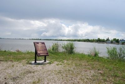
New Iceland represents a distinctive episode in the early settlement of the Canadian West. In 1875 and 1876, more than a thousand Icelandic immigrants settled a large tract of land reserved for them by the federal government along the western shore . . . — — Map (db m8453) HM
Erected between 1852 and 1854, this large limestone dwelling housed the rector of nearby St. Andrew’s church and complemented the massive construction of that building. The rectory, built for the Reverend William Cockran was one of the . . . — — Map (db m8449) HM
Beginning in 1828 the Rev. W. Cockran held religious services in the homes of settlers in this area. In 1829 he established a permanent residence at Grand Rapids on the Red River and by 1831 had built a small wooden church. His growing congregation . . . — — Map (db m8445) HM
This is the only Caméré curtain bridge-dam built in North America, and by far the largest ever constructed. H.E .Vautelet, the Canadian engineer responsible for its design, adapted a French technological advancement to deal with the . . . — — Map (db m9205) HM
Although Lake Manitoba was named lac des Prairies in 1738 by
La Verendrye, the Indians knew these waters from time immemorial
as the "narrows of the Great Spirit" (in Cree Manito bau). In stormy
weather waves crashing on the limestone rocks of . . . — — Map (db m288751) HM
Here ran the original north boundary of the
Province of Manitoba. On July 15, 1870 Manitoba officially
became a Canadian province. It then measured about
130 miles east to west and 110 miles north to south, with
an area of 13,928 square miles. . . . — — Map (db m289843) HM