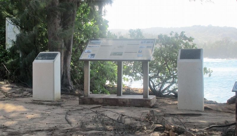
On December 7, 1941, an SCR-270B Radar located
at this site tracked incoming Japanese aircraft
for over 30 minutes until they were obscured
by the island ground clutter. This was the first
wartime use of radar by the United States Military,
and . . . — — Map (db m154431) HM WM
Mobile Radar Unit SR-270B
has been designed a
National Historic Landmark.
This site possesses national significance
in commemorating the history of the
United States of America. — — Map (db m154432) HM
“It will all happen in a moment,
in the twinkling of an eye. When the
last trumpet is blown.
When this happens, then at last
this scripture will come true-
Death is swallowed up in Victory.”
I Corinthians 15:52 and 54
This . . . — — Map (db m111960) HM WM
While travelling around the world on an assignment to visit the
foreign missions of The Church of Jesus Christ of the Latter-day Saints,
Elder David O. McKay, a member of the Quorum of the Twelve Apostles, and
Hugh J. Cannon visited Hawaii in . . . — — Map (db m111520) HM
This is the site of the LDS Hawaii Mission School
where President David O. McKay, then member of
the Church’s Quorum of the Twelve Apostles,
witnessed a flag raising ceremony on February 7, 1921.
Observing the multi-ethnic student body . . . — — Map (db m111519) HM
A hybrid between a False Killer Whale & Atlantic Bottlenose Dolphin.
Born May 15, 1985.
She shows her whale heritage in her dark coloration, bodylength, width, and large teeth.
Her profile is unique blend of both parents with a short, . . . — — Map (db m82138) HM