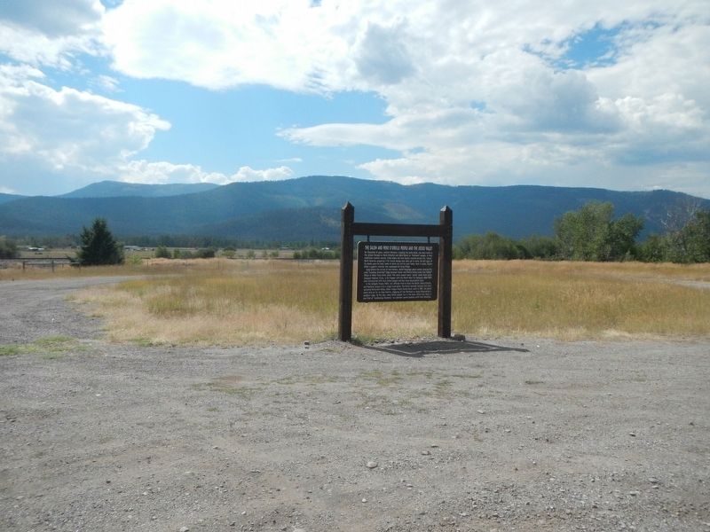
For thousands of years, western Montana, including the Jocko Valley, has been home to the Qluspé (Kalispel or Pend d'Oreille) and Séliš (Salish or "Flathead") people. In their tradition creation stories, tribal elders tell how . . . — — Map (db m159542) HM
Congress opened the Flathead Reservation for homesteading in 1910, setting aside several tracts of land for townsite purposes. The town of D’Aste was platted soon after. Thomas P. Quinn operated a store and post office at D’Aste, serving fifty-three . . . — — Map (db m219139) HM
The National Bison Range was established in 1908 to help save the American Bison from extinction. Today populations are secure and bison roam in Parks, Refuges and on private ranches throughout the country.
The Bison Range is a National Wildlife . . . — — Map (db m96503) HM
For ten days in July 1855, near the confluence of the Bitterroot and Clark Fork Rivers, Salish, Pend d’Oreille, and Kootenai people met in council with US officials. The tribes struggled to understand the negotiations due to inept translators. In . . . — — Map (db m269898) HM
Homebuilding across the country stopped completely during World War II as materials were diverted to the war effort. When residential construction resumed after the war, architects broke with past traditions and embraced modernism. One-story ranch . . . — — Map (db m219135) HM
The first circuit-riding Methodist ministers, “the Lord’s Horsemen,” arrived in Montana in the 1870s to establish congregations among the territory’s early population. Settlers came to the Flathead when reservation lands opened to homesteading in . . . — — Map (db m219136) HM
The mountains rising to the east lie in the Mission Mountain Wilderness and the Mission Mountain Tribal Wilderness. The range is more than a natural wonder, it is the first place in America where an Indian nation has designated tribal lands as a . . . — — Map (db m159547) HM
Construction of the last Hudson Bay Trading Post, within the present borders of the United States, was started here in 1846, and was completed in 1847 by Angus McDonald. Angus originally named the fort "Connen" after a river valley in his Scottish . . . — — Map (db m159546) HM
This church, dedicated to St. Ignatius of Loyola, founder of the society of Jesus, was built in 1891. In 1840, Fr. Peter DeSmet came to Montana in response to the request of four separate delegations of Indians, and in 1841, he established St. . . . — — Map (db m219042) HM