5 entries match your criteria.
Related Historical Markers
Canso Canal & Causeway
By Cosmos Mariner, July 20, 2019
The Building of the Canso Causeway Marker
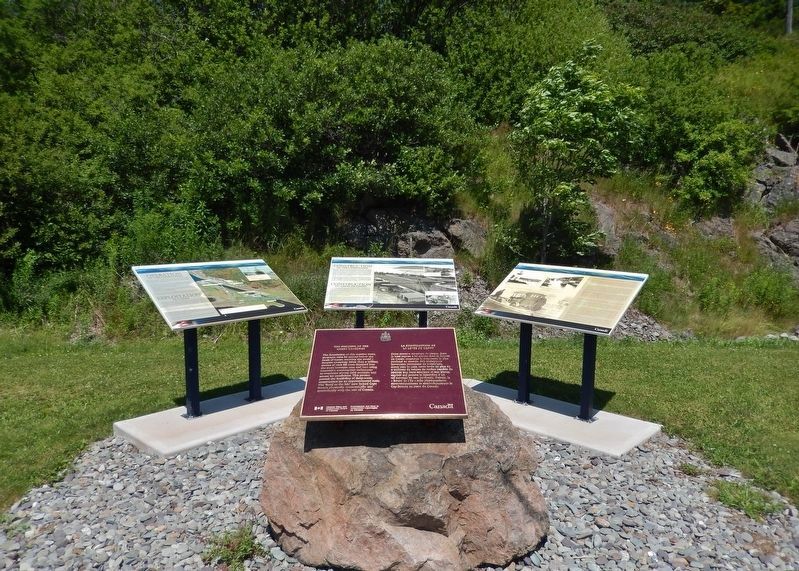
(wide view showing nearby related markers)
SHOWN IN SOURCE-SPECIFIED ORDER
| | English:
The foundation of this massive stone structure rests 66 metres below the Strait of Canso, creating the world’s deepest causeway. More than 9 million tonnes of rock fill were dumped into the strait between 1952 and 1955 . . . — — Map (db m139303) HM |
| | English:
The Strait of Canso separates Cape Breton Island from the mainland of Nova Scotia. The Mi'kmaq were the original settlers in the area until the 1780's, when other settlements were established on both shores. Historically, . . . — — Map (db m139299) HM |
| | English:
Work began on a causeway and canal complex between Cape Breton Island and mainland Nova Scotia in 1953 under a tri-party agreement between the federal Department of Transport, the Nova Scotia Department of Highways and . . . — — Map (db m139301) HM |
| | English:
A canal is a manmade waterway connecting two bodies of water. When one body of water is higher than the other, the canal uses a lock, in this case, a tidal lock consisting of two sets of gates, to compensate for the . . . — — Map (db m139302) HM |
| | Making a Living in the Strait of Canso Area since 1784.
Transportation and Communication Early Years: Stage Coach Lines, Ferries, Mail Service Link, Telegraph Offices, American Consular Offices, Railroads, Boston Boats and Coastal . . . — — Map (db m139296) HM |
May. 23, 2024