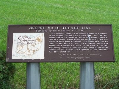
Greene Ville Treaty Line
Surveyed by Israel Ludlow, 1797- 1799
The southern boundary of Ashland County is a portion
of the original Greene Ville Treaty. The line was
established at the Treaty of Greene Ville signed August 3,
1795 by . . . — — Map (db m77342) HM
The Greene Ville Treaty was signed with the Indians is 1795. Locating the dividing line between the United States (Northwest Territory) and Indian land was the problem of General Rufus Putnam, Surveyor General of the United States, under whom the . . . — — Map (db m164852) HM
Greene Ville Treaty Line
This marker is located on the boundary line which was established at the end of the Indian wars to separate the American settlers and the Indians. It was agreed upon by the United States and the defeated confederated . . . — — Map (db m20587) HM
At this spot was found the original surveyor's stake which marked the western terminus of that part of the Greene Ville Treaty line running from near Fort Laurens, in the eastern part of the state, to Fort Recovery. From this point the line ran . . . — — Map (db m20265) HM