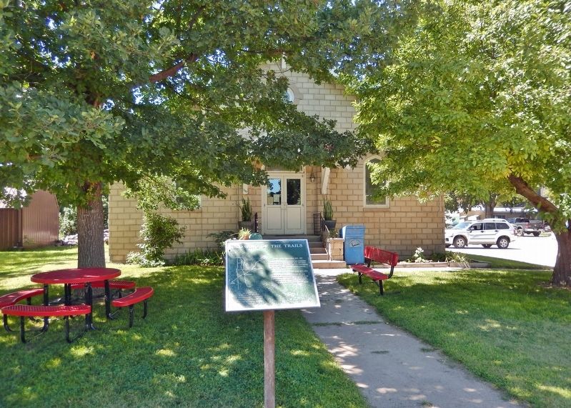
On 2nd Street just south of Ash Street, on the left when traveling north.
Sidney — Black Hills Trail 1875-1881 Freight wagons, stagecoaches and horsemen carried supplies, passengers mail and gold between Sydney Nebraska and the gold-mining towns in the Black Hills of South Dakota. Fort Pierre — Fort Laramie . . . — — Map (db m235932) HM
On Lincoln Highway (U.S. 30) 1 mile west of 13th Avenue, on the left when traveling west.
Gold was discovered in the Black Hills in August, 1874. By the spring of 1876, the Army had stopped enforcing a treaty which reserved the hills for the Sioux Indians. Miners soon began to pour into the gold regions. From 1875 to 1881, the . . . — — Map (db m231079) HM
On Nebraska Route 2 15 miles south of U.S. 20, on the left when traveling south.
An important thoroughfare between Sidney, Nebraska and the Black Hills during the years 1876-1880. Heavily traveled by stage coaches, freight wagons and prospectors going between the railroad at Sidney, and the gold fields. — — Map (db m158997) HM
Near Interstate 80 (at milepost 61), 1.3 miles east of Upland Parkway (Alternate Interstate 80), on the right when traveling west.
In 1867 an Army tent camp was established near here to provide protection for Union Pacific Railroad construction crews. Three years later it became Fort Sidney, the nucleus for the town of Sidney, county seat of Cheyenne County. The rush to the . . . — — Map (db m231061) HM
From about 1837 until 1850, more than a quarter million buffalo robes bought from Indians and 27 tons of fur company trade goods were hauled over the 300 mile long Fort Pierre-Fort Laramie Trail that followed the White River through this area. First . . . — — Map (db m4530) HM