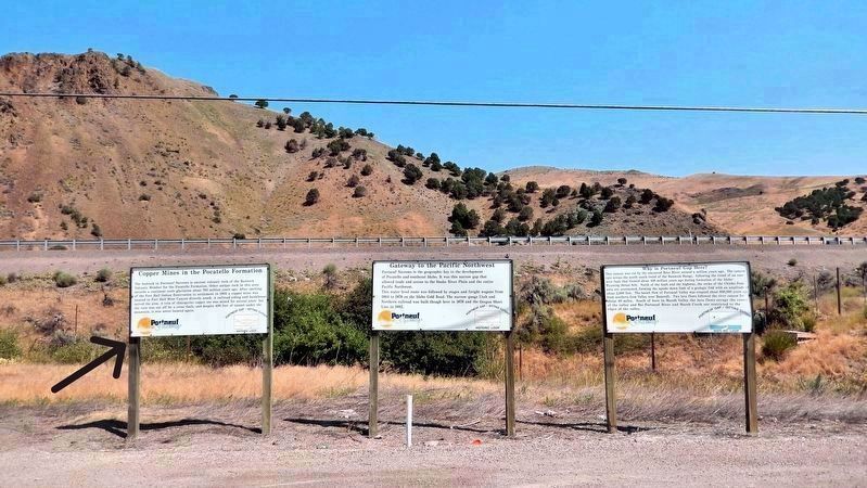
The bedrock in Portneuf Narrows is ancient volcanic rock of the Bannock Volcanic Member for the Pocatello Formation. Other unique rock in this area records a continent-scale glaciation about 700 million years ago. After opening of the Fort Hall . . . — — Map (db m267583) HM
Portneuf Narrows is the geographic key to the development of Pocatello and southeast Idaho. It was this narrow gap that allowed trade and access to the Snake River Plain and the entire Pacific Northwest. This water-level route was followed by . . . — — Map (db m267594) HM
This canyon was cut by the ancestral Bear River around a million years ago. The canyon cuts across the north-south trend of the Bannock Range, following the trend of an east-west fault that formed about 100 million years ago during formation of the . . . — — Map (db m267595)
A narrow-gauge (3 foot-wide) railroad was built through Portneuf Narrows in 1878, headed for rich Montana mines, that were reached in 1880. The stone bridge one-quarter mile south is built on the original railway bridge. This rail line passed . . . — — Map (db m267596) HM
Before construction of the Interstate Highway in the 1970's a highway port-of-entry was located here to monitor truck traffic between the Snake River Plain and the area to the south and east. Truck transportation was an important early industry in . . . — — Map (db m267597) HM
This is the main line of the Oregon Short Line (a segment of the Union Pacific Railroad) between the Pacific Northwest and the Midwest and South. The railway yard in Pocatello is a major junction and one of the largest on the Union Pacific system. . . . — — Map (db m267598) HM