C.S.A.
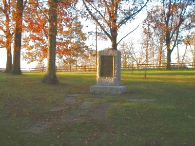
On this site in an oak grove from Sept. 15 to Sept. 18, 1862, stood the headquarters tent of General Robert E. Lee commanding the Confederate forces. Purchased, restored and marked by the West Virginia Division, United Daughters . . . — — Map (db m5640) HM
On the morning of September 15, 1862, the Army of the Potomac pursued the retreating Confederates from South Mountain: Pleasonton's cavalry, the Second, First, and Twelfth Corps by Turner's Pass, Boonsboro and Keedysville; Sykes' Division of the . . . — — Map (db m5562) HM
Early in the morning the 20-pounder Parrott gun batteries of Taft, Langer, von Kleiser and Wever, First New York Artillery, were in position on the ridge east of the Antietam and north of Boonsboro Pike; Battery E (Benjamin's) 2nd U.S. and Battery . . . — — Map (db m5564) HM
The Battle opened at daylight between Hooker's Corps and the Confederate divisions of Jackson and Ewell and raged in the East Woods, in Miller's Cornfield and on either side of the Hagerstown Pike about one third of a mile north of the Dunkard . . . — — Map (db m168212) HM
U.S.A. September 17, 1862 (Continued) French's Division, following Sedgwick across the Antietam, on reaching the East Woods wheeled to the left, drove the Confederate outposts from the Roulette Buildings and about 9:30 a.m., engaged the brigade . . . — — Map (db m168213) HM
The left of the Union line was held by Burnside's (Ninth) Corps. The battle opened there about 10 a.m. by an unsuccessful attempt of the 11th Connecticut Infantry, supported by Crook's Brigade, to carry the stone bridge over the Antietam, about a . . . — — Map (db m5579) HM
Army of Northern Virginia was composed of Longstreet's and Jackson's Commands, Stuart's Cavalry Division and the Reserve Artillery. D.R. Jones' and Hood's Division and Evans' Brigade of Longstreet's Command, also D.H. Hill's Division of Jackson's . . . — — Map (db m5587) HM
At about 6 a.m. Jackson became heavily engaged in resisting an attempt of Hooker's Corps of the Army of the Potomac to turn the left flank of the Confederate Army. About 7 a.m. the attempt was renewed by Mansfield's Corps. About 9 a.m. a third . . . — — Map (db m5596) HM
C.S.A. Army of Northern Virginia General Robert E. Lee, Commanding September 17, 1862. General Longstreet's Command, including D.H. Hill's Division of Jackson's Command, temporarily attached, occupied the right and center of the Confederate . . . — — Map (db m168106) HM