10 entries match your criteria.
Historical Markers in County Limerick, Munster
By William Fischer, Jr., April 11, 2009
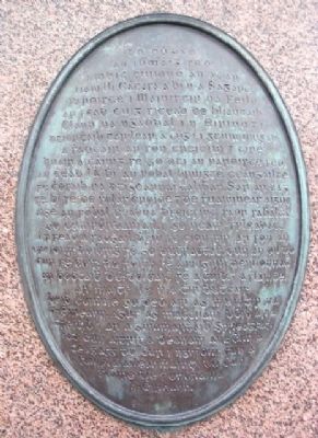
Reverend William Casey Marker (Old Gaelic)
| On Main Street (National Road 21) at The Square, on the left when traveling north on Main Street. |
| On Main Street (National Road 21) at The Square, on the left when traveling north on Main Street. |
| On Main Street (National Route N21) 0.1 kilometers south of the River Maigue, on the right when traveling south. |
| On Main Street (National Route N21) just east of Station Road (Local Route L1423), on the left when traveling east. |
| On Main Street (National Route N21) at Station Road (Local Route L1423), on the left when traveling west on Main Street. |
| On Black Abbey Road (Local Route 1422) 0.1 kilometers west of Rathkeale Road (National Route N21), on the right when traveling west. |
| On Main Street (National Route N21) just east of Station Road (Local Route L1423), on the left when traveling east. |
| On Main Street (National Route N21) close to Station Road (Local Route L1423), on the left when traveling west. |
| On South Quay (National Route N21) just east of Lower Knockane Road, on the left when traveling east. |
Apr. 30, 2024