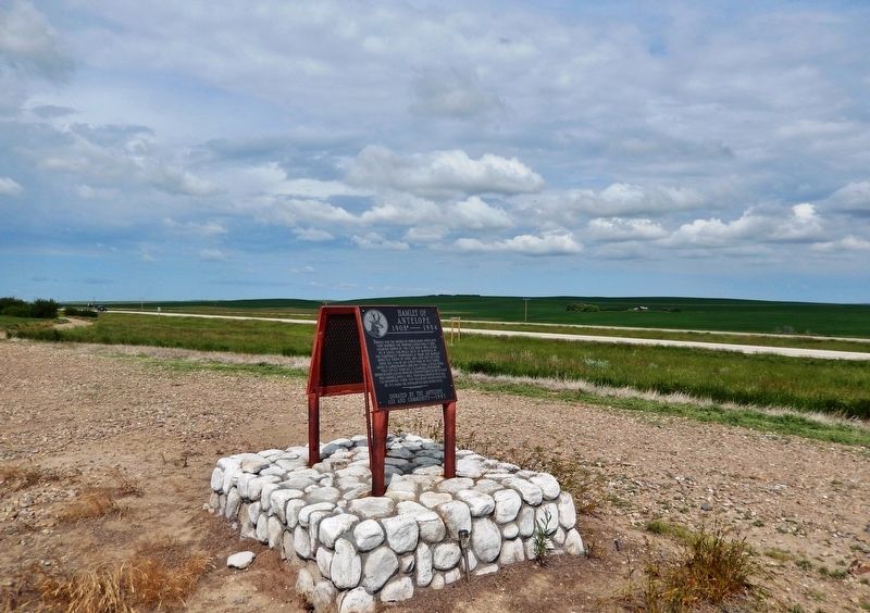
Near Trans-Canada Highway (Provincial Highway 1) 10 kilometers west of Allowance Road West (Provincial Road 632), on the left when traveling west.
Named for the herds of Pronghorn Antelope that roamed the prairies. 1900-1906 it was situated north of the C.P.R. track and listed as a siding 538 miles west of Winnipeg in the Northwest Territories. A town site almost directly south of here was . . . — — Map (db m201114) HM
Near Trans-Canada Highway (Provincial Highway 1) 10 kilometers west of Allowance Road West (Provincial Road 632), on the left when traveling west.
The school district was formed June 17, 1918. The school was built in 1919 on Sec. 1-14-18 W3 just to the south of the Hamlet of Antelope. Opening January 26, 1920 and in operation continuously until June 30, 1963. At one time 42 students, grades . . . — — Map (db m201115) HM
Near Trans-Canada Highway (National Highway 1) 6 kilometers east of Provincial Highway 37, on the right when traveling east.
This trail approximated the route of the C.P.R., and after 1883 was an important patrol route of the N.W.M.P. linking Divisional Headquarters at Maple Creek and the Swift Current Detachment. Used by pioneer ranchers and homesteaders well into the . . . — — Map (db m201262) HM