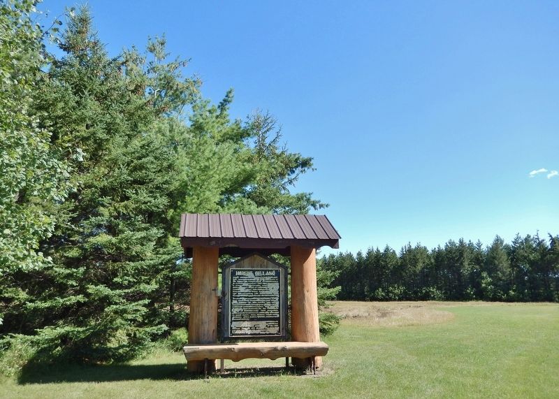
Height of Land Township, organized January 26, 1886, bears the name of the large lake known to the Otter Tail Pillager Band of Anishinaabeg as Ajawewesitagunsagaiigun — “lake where the portage is across a divide separating water which runs . . . — — Map (db m309197) HM
Through woodland and prairie, along riverbanks and through sloughs, the mixed-blood American and Canadian buffalo hunters called Metis blazed trails with their oxen and squeaky-wheeled wooden carts. They carried buffalo robes and pemmican from . . . — — Map (db m252763) HM
This lake and the city located on its northern shore received its name from the French word “détroit,” meaning a narrow place in a lake and in this case referred to the bar which divides Little and Big Detroit Lakes. Today this can be seen about . . . — — Map (db m233589) HM
You are traveling on one of the most scenic highways in Minnesota: Designated on May 26, 1999 as a state byway, the Lake Country Scenic Byway covers 67 miles of Minnesota State Highway 34 from Detroit Lakes to Park Rapids and Walker . . . — — Map (db m309297) HM
Though the fires noted on this panel are not considered among the most significant in the state's history, this area has experienced some harrowing and memorable wildfires. Over the years, the specialists we count on to deal with wildfires draw on . . . — — Map (db m237399) HM
The first Minnesota mission to be named for Saint Columba was built by James Lloyd Breck in 1852 at Gull Lake near the present-day Brainerd. It was the fourth Episcopal church established in Minnesota.
The initial group of Chippewa Indians . . . — — Map (db m207531) HM
Thin black lines indicate changes in relevance. Between each pair of lines entries are ordered geographically but all have the same relevance.
* Inflectional forms of words are their plurals, singulars, and possessives as well as gramatical tenses and similar variations.