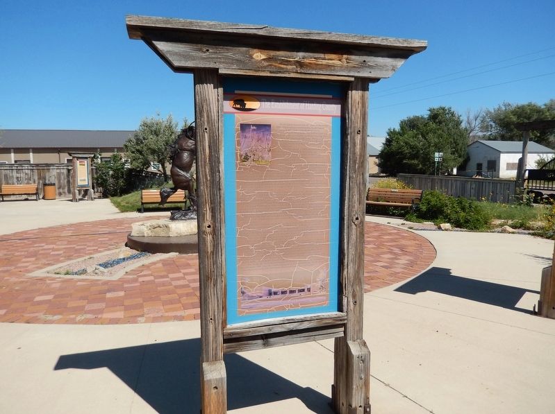
Near Theodore Roosevelt Expressway (CanAm Highway) (U.S. 85) just south of Connel Street (State Highway 20), on the left when traveling north.
South Dakota became the 40th state on November 2, 1889. The counties in northwestern South Dakota changed twice with what is now Harding County originally divided into three parts. The northern part was Ewing County, the central part was Burdick . . . — — Map (db m303984) HM
On 5th Ave (U.S. 85) near Edmunds Street, on the right when traveling north.
In 1959 following the admission of Alaska and Hawaii to the Union, the U.S. Coast and Geodetic survey officially designated a point 20 miles north of Belle Fourche, South Dakota as the Geographic Center of the Nation.
Entry of Alaska and Hawaii . . . — — Map (db m4867) HM
Near 5th Avenue (CanAm Highway) (U.S. 85) just north of Faulk Street, on the right when traveling north.
[marker on south side of cabin] This cabin, built in 1876 of logs split & transported by Spaulding from the Black Hills, was the first home on the Redwater & what became Butte County. An experienced scout, familiar with the . . . — — Map (db m234772) HM
Near 5th Avenue (U.S. 85) north of Faulk Street, on the right when traveling north.
This cabin, the first in this vicinity was built by John T. Spaulding and his brother-in-law, Thomas J.Davis, in 1876-77 as a home for himself and Mr. and Mrs. Lucinda Davis and family. It was located on Lower Redwater 22 miles S.E. of here from . . . — — Map (db m280265) HM
Thin black lines indicate changes in relevance. Between each pair of lines entries are ordered geographically but all have the same relevance.
* Inflectional forms of words are their plurals, singulars, and possessives as well as gramatical tenses and similar variations.