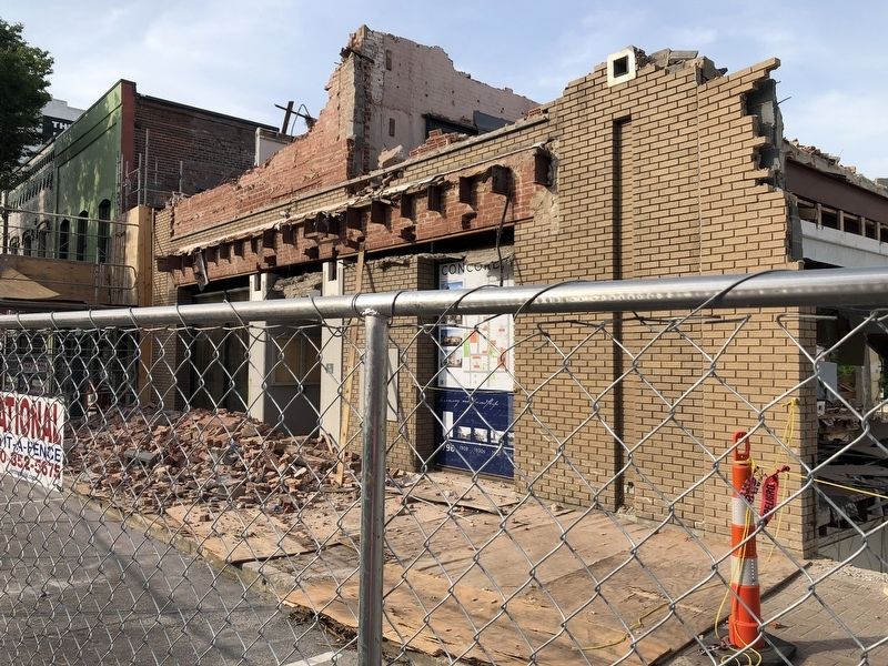
On Union Street South just south of Cabarrus Avenue West (County Road 1002), on the right when traveling south. Reported permanently removed.
Catawba Indians originally inhabited present day Cabarrus County when significant numbers of Dutch, Scots-Irish, German, and Welsh-English families began traveling the Great Wagon Road to North Carolina backcountry in the middle of the eighteenth . . . — — Map (db m258305) HM
On West 5th Street just west of North Church Street, on the right when traveling west.
The first documented discovery of gold in the United States was in 1799 in Cabarrus County (formerly Mecklenburg) by twelve-year-old Conrad Reed. Reed Gold Mine is now a state historic site. Gold was discovered in Mecklenburg in 1802 near . . . — — Map (db m175552) HM
(Preface): On March 24, 1865, Union Gen. George Stoneman led 6,000 cavalrymen from Tennessee into southwestern Virginia and western North Carolina to disrupt the Confederate supply line by destroying sections of the Virginia and Tennessee . . . — — Map (db m53199) HM
On St Johns Church Road at Mt Olive Road (County Route 2416), on the right when traveling north on St Johns Church Road.
During the Civil War, about two hundred members of St. John’s Lutheran Church served in at least eight Confederate army units. The units included companies in the 8th, 20th, 33rd, 52nd, and 57th North Carolina Infantry regiments, as well as a . . . — — Map (db m77374) HM
Near Organ Church Road at Shive Road, on the right when traveling north.
Arends
Johann Gottfried Arends
December 11, 1740-July 9, 1807
He came here as a teacher in 1773, German church leaders complied with the request from sixty Rowan families carried by Christopher Lyerly and Christopher Rendleman, . . . — — Map (db m181950) HM
On South Main Street just south of Barringer Drive, on the right when traveling south.
Organized November 1869 in the chapel of North Carolina College (1859-1901) (First place of worship circa 1867-72) Edifice erected 1872directly west across South Main Street and facing Mont Amoena Female Seminary (1859-1927). . . . — — Map (db m245987) HM
On Brattonsville Road 0.1 miles north of Percival Road, on the right when traveling south. Reported missing.
The Homestead was built between 1823 and 1826 for Dr. John Simpson Bratton and his wife Harriet Rainey Bratton, the second generation of the Bratton family to live at Brattonsville. Bricks for the chimneys were made on the plantation. The two . . . — — Map (db m272030) HM
Thin black lines indicate changes in relevance. Between each pair of lines entries are ordered geographically but all have the same relevance.
* Inflectional forms of words are their plurals, singulars, and possessives as well as gramatical tenses and similar variations.