On Trans-Canada Highway (Provincial Highway 1) 2.2 kilometers west of Range Road 105, on the right when traveling west.
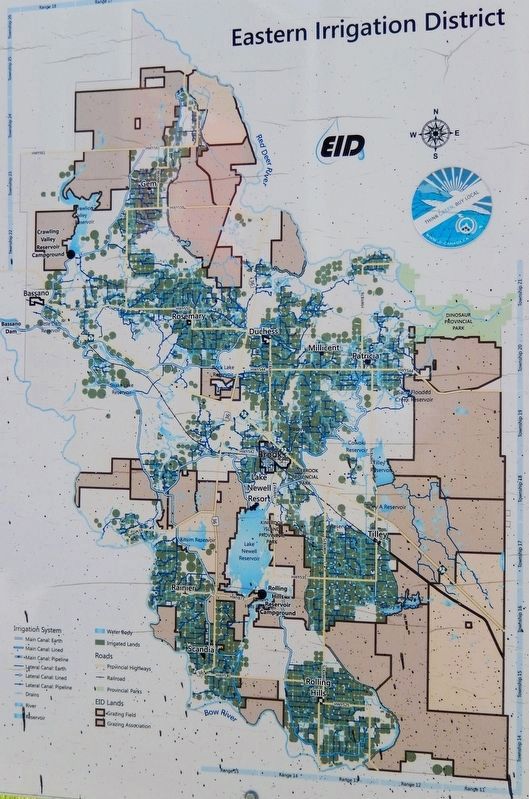
You have just entered the Eastern Irrigation District (EID), located within the Palliser Triangle (the semi-arid area of the western prairies). The Triangle, named after the Palliser Expedition of 1857-60, was thought to be of insignificant . . . — — Map (db m303398) HM
On Trans-Canada Highway (Provincial Highway 1) 2.2 kilometers west of Range Road 105, on the right when traveling west.
In 1882, part of the North West Territories was divided into the Districts of Alberta, Assiniboia, Athabasca and Saskatchewan. The old District of Alberta lies to the west of this cairn. In 1905, the provinces of Alberta and Saskatchewan were . . . — — Map (db m303393) HM
On Trans-Canada Highway (Provincial Highway 1) 2.2 kilometers west of Range Road 105, on the right when traveling west.
To the east of this cairn lies the old District of Assiniboia of the North West Territories. When, in 1905, Alberta and Saskatchewan became provinces in the growing Dominion of Canada, the District of Assiniboia was absorbed in the main by . . . — — Map (db m303200) HM