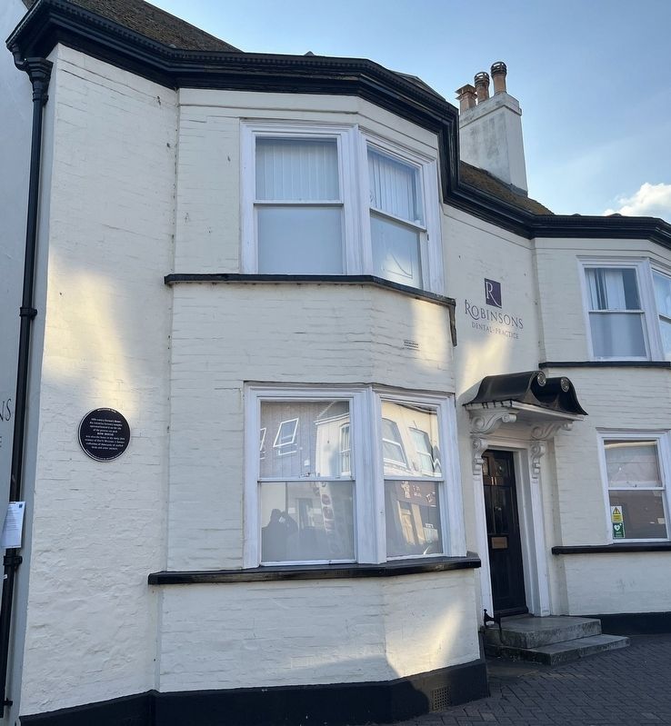
18th century brewer's house. An extensive brewery complex operated behind it on the site of the present car park.
Bow House
was also the home in the early 20th century of Hart's Museum, a famous collection of thousands of stuffed birds and . . . — — Map (db m279119) HM
A large Norman castle, built in the late 11th century, once dominated the town of Christchurch. This mound, or motte, originally had a timber tower which was replaced in stone in about 1300. The other castle buildings, including the fine Norman . . . — — Map (db m221645) HM
In 1714
a house and shop
on this site, with a farm and
other land, were left by John Clingan,
a mercer, in trust, leading to the
establishment in 1736 of
Clingan's Trust
to benefit the 'poor of the parish'.
The income from the trust . . . — — Map (db m277470) HM
The earliest documented evidence for a ducking stool in Christchurch is in the Borough Records dating from the mid-14th century. In May 1350 a property deed mentioned a 'Schulffyngstol, another dated September 1468 calls it a 'Shylvyngstole'. . . . — — Map (db m221524) HM
The earliest documented evidence of a ducking stool in Christchurch is in the Borough Records, dating from the mid-14th century. In May 1350, a property deed mentioned a 'Schulffyngstol'; another dated September 1468 calls it a 'Shylvyngstole'. . . . — — Map (db m279118) HM
Medieval Borough-owned property dating in parts from the 13th century. By the 19th century it had become known as
The Old Court House
as a back room was used to elect the Mayor, Constables, Hayward, Bailiff and Aletaster. The original Court . . . — — Map (db m272757) HM
On this site from medieval times until demolition in 1788, stood the first recorded Town Hall, known as
The Old Tolsey
or Market Toll House, used by the Old Corporation until a new Town Hall was built in the Market Place, probably in the . . . — — Map (db m279120) HM
In the Saxon period the adjacent site was occupied by the Church of the Holy Trinity. Between the 11th and 16th centuries evolved the present Priory Church
The Court House for the Priory Manor of Christchurch Twyneham stood beyond this wall . . . — — Map (db m221533) HM
Originally constructed in 1746
in the Market Place at the junction
with the High Street and Castle Street
The Town Hall
was rebuilt on this site in 1860 by public
subscription generously supported by
the Borough's MP, Admiral John . . . — — Map (db m277468) HM
The construction of a castle and monastery transformed the fortified settlement of Twynham.
Twynham (the place between rivers') was part of a series of strategic defended places established by the Saxon King Alfred. In about 1100, the town was . . . — — Map (db m223370) HM
This stone was laid by the Mayor of Christchurch Councillor Michael J. Peirce to commemorate the 50th Anniversary of the end of World War II
3rd September 1939 to 15th August 1945
"Lest We Forget" — — Map (db m221540) WM