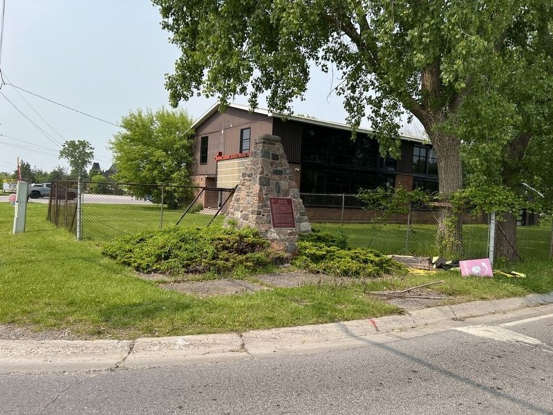
On Loyalist Parkway at County Road 64, on the right when traveling south on Loyalist Parkway.
Bay of Quinte Carrying Place
Following the peace settlement of 1783 the British sought alternative trade routes north of the new boundary. Among these was the communication, via river and portage, between Lakes Ontario and Huron. . . . — — Map (db m275387) HM
On Shore Road at Loyalist Parkway, on the right when traveling west on Shore Road.
The Important Connection
Sir John A. Macdonald's government supported creating the Murray Canal linking Lake Ontario to the Bay of Quinte to reduce shipping accidents off of the southern shore of Prince Edward County.
The . . . — — Map (db m275368) HM
On Shore Road at Loyalist Parkway, on the right when traveling west on Shore Road.
[left panel]
Murray Canal
Cutting straight through the narrow strip of land connecting Prince Edward County with the north shore of Lake Ontario, the Murray Canal is an 8 kilometre canal cut linking Lake Ontario with the Bay of . . . — — Map (db m275427) HM