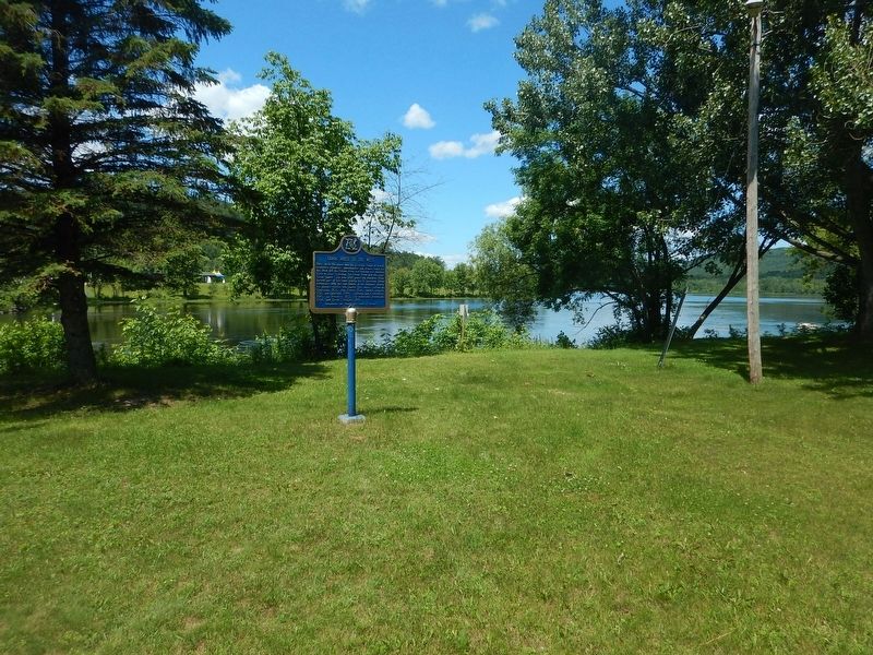
On Water Street at Main Street (County Highway 533), on the left when traveling north on Water Street.
Here, when the canoe was the principal means of travel, explorers, voyageurs, missionaries and others bound for the West, left the Ottawa River and followed the Mattawa River to Lake Nipissing, the French River and the upper Great Lakes. For over . . . — — Map (db m105630) HM
On First Street (County Highway 533) at Bissett Street, on the right when traveling west on First Street.
Francophone settlement rapidly increased in the Mattawa area with the arrival of the Canadian Pacific Railway (CPR) in 1881. During construction of the rail line, the local economy benefitted from the presence of thousands of French-Canadian . . . — — Map (db m105625) HM
On First Street (County Highway 533) at Brydges Street, on the right when traveling west on First Street.
Trading in furs at this junction of historic canoe routes probably began during the French regime. At intervals during the 1820's and 1830's Chief Trader John Siveright, commanding the Hudson's Bay Company's post at Fort Coulonge, sent men to trade . . . — — Map (db m105629) HM
On Water Street at Main Street (County Highway 533), on the right when traveling north on Water Street.
When west-bound voyageurs left the Ottawa here at Mattawa, "the forks," they faced 11 portages in the next 40 miles. The Mattawa, or Petite-Rivière, was a key link in the historic canoe route between Montréal and the upper Great Lakes and . . . — — Map (db m105631) HM