9 entries match your criteria.
Historical Markers in Sarnia
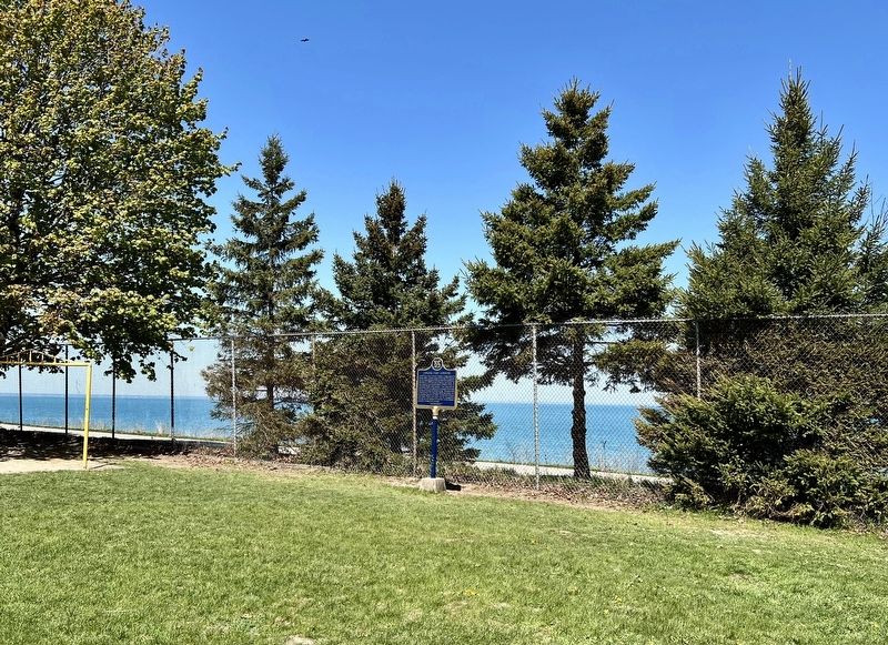
By Tim Boyd, May 12, 2025
Canada’s First Commune Marker
| Near Hamilton Road at Wildwood Drive, on the left when traveling east. |
| Near Front Street North north of George Street, on the left when traveling north. |
| On Front Street North, on the right when traveling south. |
| Near Front Street North south of Derby Lane, on the right when traveling south. |
| On Christina Street North 0.1 kilometers north of Charlotte Street, on the right when traveling north. |
| On Christina Street South 0.1 kilometers north of Clifford Street, on the right when traveling north. |
| On College Avenue North 0.1 kilometers south of George Street, on the left when traveling south. |
| On Saint Andrew Street 0.2 kilometers east of Christina Street South, on the left when traveling east. |
| On Saint Andrew Street at Christina Street South, on the left when traveling east on Saint Andrew Street. |
Nov. 13, 2026
