Marker Logo HMdb.org THE HISTORICAL
MARKER DATABASE
“Bite-Size Bits of Local, National, and Global History”


7 entries match your criteria.  


Historical Markers and War Memorials in Mallorytown, Ontario

 
Canada's First Glassworks Marker image, Touch for more information
By William Fischer, Jr., October 18, 2019
Canada's First Glassworks Marker
1 Ontario, Leeds and Grenville United Counties, Mallorytown — Canada's First Glassworks1839
On County Highway 2 just south of Mallorytown Road (County Highway 5), on the left when traveling south.
2 Ontario, Leeds and Grenville United Counties, Mallorytown — Chimney Island (Bridge Island)
On Thousand Islands Parkway, 2 kilometers east of Mallorytown Road, on the right when traveling east.
3 Ontario, Leeds and Grenville United Counties, Mallorytown — Mallorytown Glass Works
On County Highway 2 just east of Guild Road, on the right when traveling west.
4 Ontario, Leeds and Grenville United Counties, Mallorytown — The “Remembrance Road” Memorial"They made the Ultimate Sacrifice."
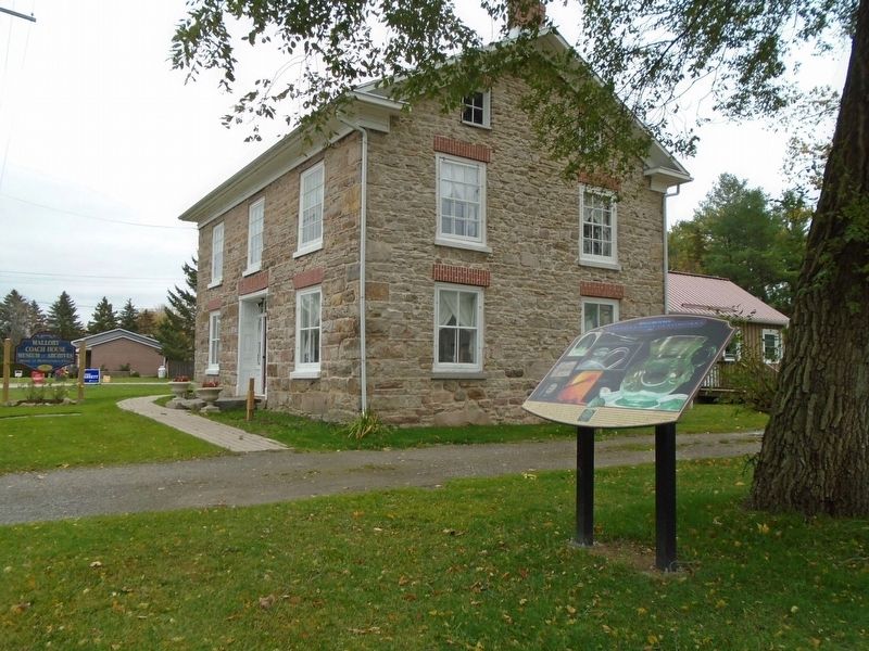
On County Highway 5, 0.1 kilometers County Highway 2, on the left when traveling north.
5 Ontario, Leeds and Grenville United Counties, Mallorytown — The Macdonald Cartier Freeway
On Provincial Highway 401, on the right when traveling east.
6 Ontario, Leeds and Grenville United Counties, Mallorytown — The Macdonald Cartier Freeway
On Provincial Highway 401, on the right when traveling west.
7 Ontario, Leeds and Grenville United Counties, Mallorytown — War MemorialLest We Forget
On Quabbin Road (County Highway 4) 0.8 kilometers north of County Highway 2, on the right when traveling north.
 
 
CeraNet Cloud Computing sponsors the Historical Marker Database.
This website earns income from purchases you make after using our links to Amazon.com. We appreciate your support.
Paid Advertisement
May. 29, 2024