After filtering for Prince Edward Island, 6 entries match your criteria.
Historical Markers and War Memorials in Murray Harbour, Prince Edward Island
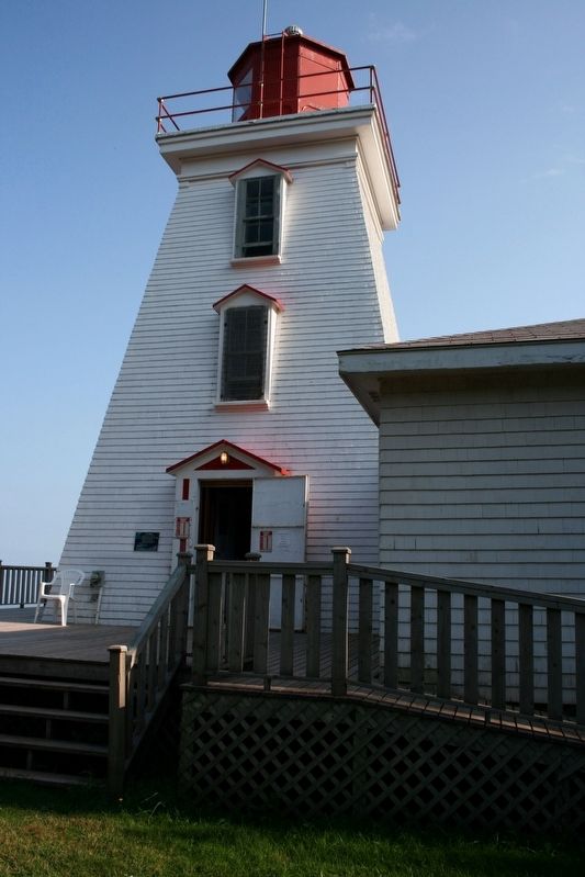
By cmh2315fl via Flickr (CC BY-NC 2.0), August 30, 2007
Cape Bear Marker
| Near Black Brook Road, 0.3 kilometers north of Cape Bear Road (Prince Edward Island Route 18), on the right when traveling north. |
| On Station Lane just south of Cape Bear Road (Main Street) (Prince Edward Island Route 18), on the right when traveling south. |
| On Station Lane just south of Cape Bear Road (Main Street) (Provincial Route 18), on the right when traveling south. |
| On Main Street (Prince Edward Island Route 18) just north of Cape Bear Road (Prince Edward Island Route 18A), on the right when traveling south. |
| On Main Street (Prince Edward Island Route 18) just north of Westview Drive, on the right when traveling west. |
| On Station Lane just south of Cape Bear Road (Main Street) (Prince Edward Island Route 18), on the right when traveling south. |
May. 21, 2024