Marker Logo HMdb.org THE HISTORICAL
MARKER DATABASE
“Bite-Size Bits of Local, National, and Global History”


7 entries match your criteria.  


Historical Markers and War Memorials in Ohsweken, Ontario

 
Chiefswood Marker image, Touch for more information
By Cosmos Mariner, May 25, 2022
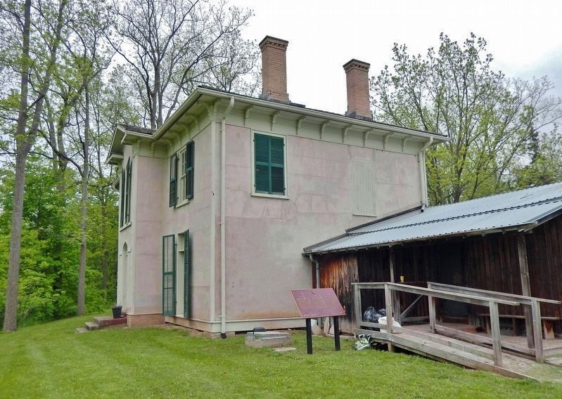
Chiefswood Marker
1 Ontario, Brant County, Ohsweken — Chiefswood
Near County Highway 54 just east of Chiefswood Road, on the right when traveling east.
2 Ontario, Brant County, Ohsweken — Cogwagee • Tom Longboat1886 - 1949
On 4th Line close to Chiefswood Road, on the left when traveling west.
3 Ontario, Brant County, Ohsweken — E. Pauline Johnson1861-1913
Near County Highway 54 just east of Chiefswood Road, on the right when traveling east.
4 Ontario, Brant County, Ohsweken — E. Pauline JohnsonTekahionwakeh — 1861-1913 —
Near County Highway 54 just east of Chiefswood Road, on the right when traveling east.
5 Ontario, Brant County, Ohsweken — Thayendanega (Joseph Brant)1742-1807
Near 4th Line close to Chiefswood Road, on the left when traveling west.
6 Ontario, Brant County, Ohsweken — The Six Nations
Near 4th Line close to Chiefswood Road, on the left when traveling west.
7 Ontario, Brant County, Ohsweken — The Six Nations War Memorial
On 4th Line close to Chiefswood Road, on the left when traveling west.
 
 
CeraNet Cloud Computing sponsors the Historical Marker Database.
This website earns income from purchases you make after using our links to Amazon.com. We appreciate your support.
Paid Advertisement
May. 2, 2024