7 entries match your criteria.
Related Historical Markers
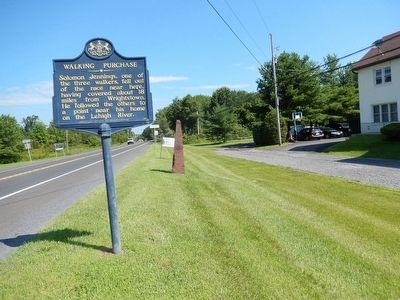
By Don Morfe, July 20, 2015
Walking Purchase Marker
SHOWN IN SOURCE-SPECIFIED ORDER
| | Measured 1737, according to a supposed Indian deed of 1686, granting lands extending a day-and-a-half walk. Using picked men to force this measure to its limit, Thomas Penn reversed his father's Indian policy losing Indian friendship. — — Map (db m86295) HM |
| | Measured 1737, according to a supposed Indian deed of 1686, granting lands extending a day-and-a-half walk. Using picked men to force this measure to its limit, Thomas Penn reversed his father's Indian policy losing Indian friendship. — — Map (db m86294) HM |
| | This site, Towissinck or Jericho Creek, was the northern boundary of Penn’s 1st purchase of Native American land on July 15, 1682. The land purchase was measured by the distance a man could walk in a day and a half, starting from the mouth of the . . . — — Map (db m13398) HM |
| | Starting here at sunrise, Sept. 19, 1737, Marshall, Yeates, and Jennings set out on the "Indian Walk." In one and a half days, Edward Marshall reached a point beyond present Mauch Chunk, some 65 miles to the north and west. — — Map (db m202782) HM |
| | Measured 1737, according to a supposed Indian deed of 1686, granting lands extending a day-and-a-half walk. Using picked men to force this measure to its limit, Thomas Penn reversed his father's Indian policy, losing Indian friendship. — — Map (db m86257) HM |
| | The famous Indian Walk of a day and a half from Wrightstown, Bucks County, to near the present Mauch Chunk was performed for the Penn Proprietors of Pennsylvania September 19-20, 1737 by Edward Marshall and his associates who slept at the end of the . . . — — Map (db m188225) HM |
| | Measurer of the notorious Walking Purchase, 1737, lived in this area, 1755-1759. In the many Indian raids of this time, his wife and his oldest son were killed, 1757, supposedly in revenge. Later he returned to Bucks County. — — Map (db m37945) HM |
Apr. 26, 2024