Marker Logo HMdb.org THE HISTORICAL
MARKER DATABASE
“Bite-Size Bits of Local, National, and Global History”


6 entries match your criteria.  


Related Historical Markers

Oregon Coast Lighthouses
 
U.S.C.G. Station, Umpqua River, 1939 Marker (<i>wide view; marker visible at bottom</i>) image, Touch for more information
By Cosmos Mariner, June 26, 2015
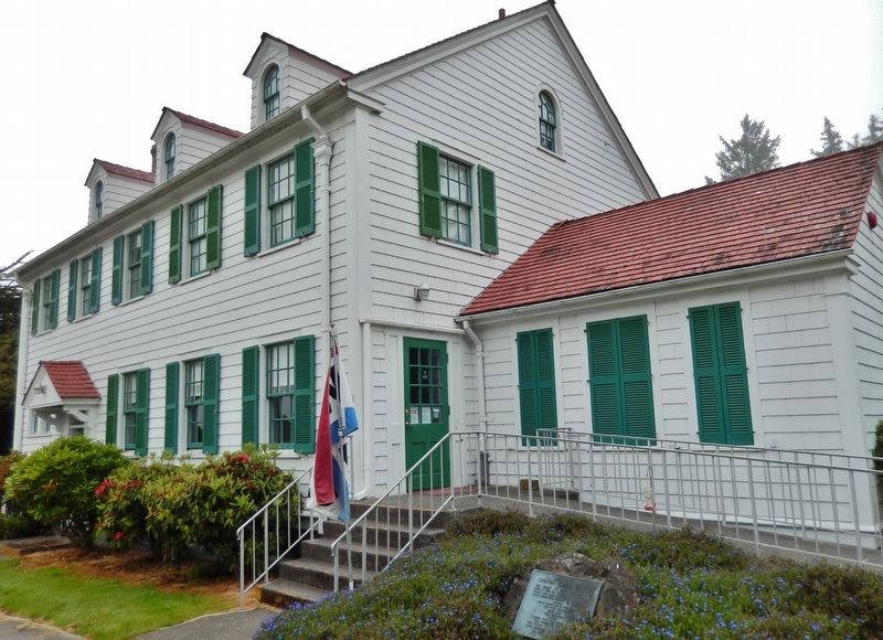
U.S.C.G. Station, Umpqua River, 1939 Marker (wide view; marker visible at bottom)
SHOWN IN SOURCE-SPECIFIED ORDER
1 Oregon, Douglas County, Reedsport — U.S.C.G. Station, Umpqua River, 1939Coastal Visitor Center
On Lighthouse Road west of Oregon Coast Highway (U.S. 101), on the right when traveling north.
2 Oregon, Douglas County, Reedsport — Umpqua River Lighthouse
On Lighthouse Road west of Oregon Coast Highway (U.S. 101), on the right when traveling north.
3 Oregon, Coos County, Bandon — Coquille River Lighthouse - 1896
Near Bullards Beach Road, 2.8 miles east of U.S. 101 when traveling east.
4 Oregon, Lane County, Florence — Heceta Head LightstationIlluminating the Darkness
Near Cape Creek Road west of Oregon Coast Highway (U.S. 101).
5 Oregon, Lincoln County, Newport — Yaquina BayOregon History
On Yaquina Bay State Park Road west of Oregon Coast Highway (U.S. 101), on the left when traveling north.
6 Oregon, Tillamook County, Tillamook — A Way of Life Centered around a 1-Ton Crystal Lens
Near Cape Meares Lighthouse Drive west of Bayshore Drive when traveling west.
 
 
CeraNet Cloud Computing sponsors the Historical Marker Database.
This website earns income from purchases you make after using our links to Amazon.com. We appreciate your support.
Paid Advertisement
May. 17, 2024