6 entries match your criteria.
Related Historical Markers
Markers related to the Battle of Cool Springs and Castleman's Ferry
By Craig Swain, June 18, 2007
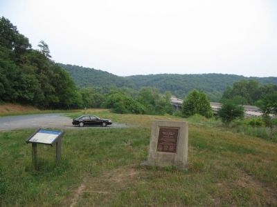
Battle of Cool Spring Marker
SHOWN IN SOURCE-SPECIFIED ORDER
| On Castleman Road (Virginia Route 603) at Harry Byrd Highway (Virginia Route 7), on the right when traveling east on Castleman Road. |
| On Castleman Road (County Route 603), on the right when traveling north. |
| On Harry Byrd Highway (Virginia Route 7) at North Hill Lane, on the right when traveling east on Harry Byrd Highway. |
| On Parker Lane at Harry Byrd Highway (Virginia Route 7), on the right when traveling west on Parker Lane. |
| On Parker Lane, on the right when traveling north. |
| Near Parker Lane, on the left when traveling north. Reported missing. |
May. 18, 2024