5 entries match your criteria.
Related Historical Markers
Canso Canal & Causeway
By Cosmos Mariner, July 20, 2019
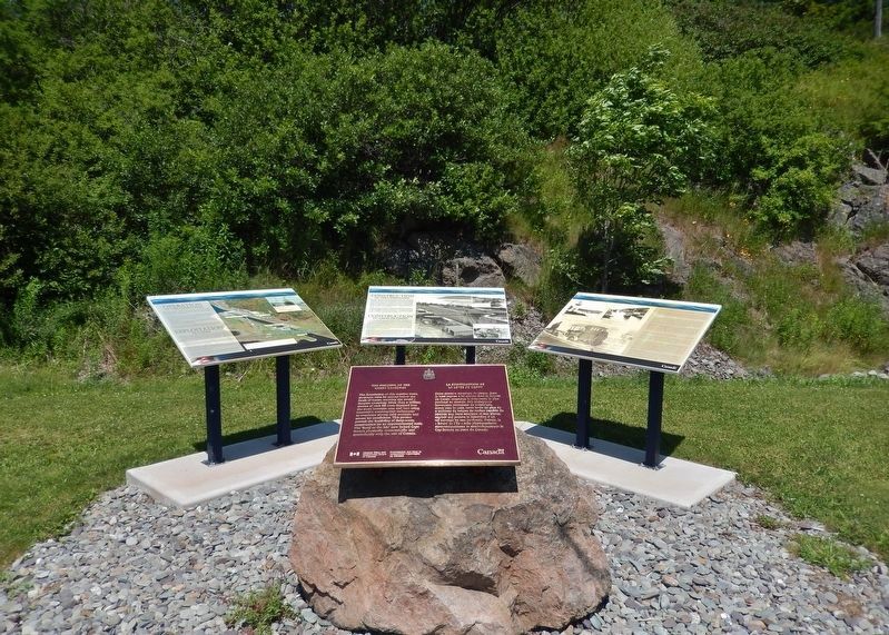
The Building of the Canso Causeway Marker
(wide view showing nearby related markers)
SHOWN IN SOURCE-SPECIFIED ORDER
| Near Trans Canada Highway (National Route 104) 0.5 kilometers west of Ceilidh Trail (Route 19), on the right when traveling west. |
| Near Trans Canada Highway (National Route 104) 0.5 kilometers west of Ceilidh Trail (Route 19), on the right when traveling west. |
| Near Trans Canada Highway (National Route 104) 0.5 kilometers west of Ceilidh Trail (Route 19), on the right when traveling west. |
| Near Trans Canada Highway (National Route 104) 0.5 kilometers west of Ceilidh Trail (Route 19), on the right when traveling west. |
| Near Trans Canada Highway (National Route 104) 0.5 kilometers west of Ceilidh Trail (Route 19), on the right when traveling west. |
May. 7, 2024