Marker Logo HMdb.org THE HISTORICAL
MARKER DATABASE
“Bite-Size Bits of Local, National, and Global History”


6 entries match your criteria.  


Related Historical Markers

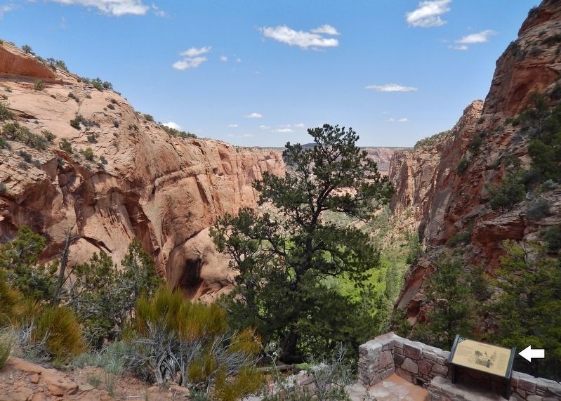
Aspen Forest Overlook Trail, Navajo National Monument
 
A Relict Forest Marker • <i>wide view<br>(Betatakin Canyon in background)</i> image, Touch for more information
By Cosmos Mariner, May 24, 2016
A Relict Forest Marker • wide view
(Betatakin Canyon in background)
SHOWN IN SOURCE-SPECIFIED ORDER
1 Arizona, Navajo County, Shonto — A Relict ForestNavajo National Monument
Near State Highway 564 at County Route 221.
2 Arizona, Navajo County, Shonto — Indian Rice GrassStipa hymenoides
Near State Highway 564 at County Highway 221.
3 Arizona, Navajo County, Shonto — Rabbit BrushChrysothamnus nauseosus
Near State Highway 564 at County Route 221.
4 Arizona, Navajo County, Shonto — ServiceberryAmelanchier utahensis
Near State Highway 564 at County Route 221.
5 Arizona, Navajo County, Shonto — Gambel OakQuercus gambelii
Near State Highway 564 at County Route 221.
6 Arizona, Navajo County, Shonto — Douglas FirPseudotsuga taxifolia
Near State Highway 564 at County Route 221.
 
 
CeraNet Cloud Computing sponsors the Historical Marker Database.
This website earns income from purchases you make after using our links to Amazon.com. We appreciate your support.
Paid Advertisement
May. 29, 2024