4 entries match your criteria.
Related Historical Markers
To better understand the relationship, study each marker in the order shown.
By Craig Baker, January 30, 2018
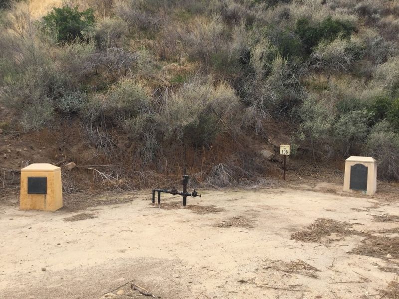
Remains of Well, between the markers
SHOWN IN SOURCE-SPECIFIED ORDER
| Near Pico Canyon Road, 4.5 miles west of Interstate 5. |
| Near Pico Canyon Road, 3 miles west of Interstate 5. |
| On Lyons Avenue east of Interstate 5, on the right when traveling east. |
| Near Pine Street, 0.2 miles south of Newhall Avenue, on the left when traveling south. |
May. 1, 2024