7 entries match your criteria.
Related Historical Markers
El Morro National Monument
By Cosmos Mariner, May 20, 2016
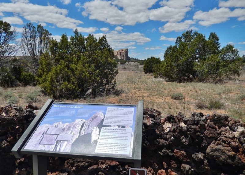
Welcome to El Morro Marker
SHOWN IN SOURCE-SPECIFIED ORDER
| On El Morro National Monument Road, 0.1 miles south of Ice Caves Road (State Highway 53), on the right when traveling south. |
| | Carved into the soft sandstone cuesta before you is a lingering history of the American Southwest. The names of the celebrated, the infamous, the legendary, and the unknown are immortalized side by side where they would otherwise be separated by . . . — — Map (db m163198) HM |
| On El Morro National Monument Road, 0.6 miles south of Ice Caves Road (State Highway 53), on the right when traveling south. |
| | From the early Puebloan people who built their homes atop this rock, to the many explorers and adventurers who carved their names, to modern visitors who travel here looking for the evidence of those who came before, El Morro reflects the history of . . . — — Map (db m163199) HM |
| Near El Morro National Monument Road, 0.9 miles Ice Caves Road (State Highway 53). |
| | Living and working at El Morro in the early 1900s was an adventure in itself. The duty station was remote, the dirt roads leading in and out were often impassible during wet weather, and a lack of running water or electricity made living conditions . . . — — Map (db m163200) HM |
| Near El Morro National Monument Road, 0.9 miles Ice Caves Road (New Mexico Highway 53). |
| | Before the days of interstates and automobiles, a journey from Albuquerque to Zuni (about 150 miles) typically took 9 or 10 days. Imagine the relief travelers must have felt when they reached this shady little oasis after walking or riding a horse . . . — — Map (db m163216) HM |
| Near El Morro National Monument Road, 0.9 miles south of Ice Caves Road (State Highway 53). |
| | The inscriptions and petroglyphs at El Morro are an important link to the past. Although they are very old, they will not be here forever. Sand grains are washed away, rocks crumble and fall, and lichens and clay deposits cover the historic . . . — — Map (db m163201) HM |
| Near El Morro National Monument Road, 0.9 miles Ice Caves Road (New Mexico Highway 53). |
| | Atsinna, which means where pictures are on the rock, was occupied from roughly 1275 to 1400 by ancestors of today’s Zuni people. Eighteen rooms were excavated in 1954, 1955, and 1961. Today, however, the focus at El Morro has shifted from . . . — — Map (db m163205) HM |
| On State Road 53, on the right when traveling west. |
| | Until it was by-passed by the railroad in the
1880’s, its waterhole made El Morro an
important stop for travelers in the Acoma-
Zuni region. Numerous inscriptions carved
in the sandstone date from the prehistoric,
Spanish, Mexican, and . . . — — Map (db m14129) HM |
May. 11, 2024