4 entries match your criteria.
Related Historical Markers
Silver City Big Ditch Park
Courtesy Silver City Museum
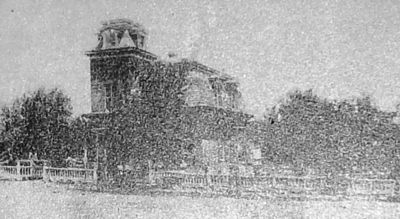
Marker detail: Harry B. Ailman House (Silver City Museum)
SHOWN IN SOURCE-SPECIFIED ORDER
| | Once a lush, grassy cienega ("see-EN-eh-ga") or wetland, this valley has attracted humans for at least a thousand years. Mining activity in the region began in 1804 with Spanish development of the Santa Rita del Cobre mine twelve miles . . . — — Map (db m169745) HM |
| | Each year, summer monsoons bless the arid Southwest with rain — sometimes violently so. This valley drains the Pinos Altos Mountains to the north and the Continental Divide to the west. Unfortunately, town founders — unfamiliar with . . . — — Map (db m169777) HM |
| | Lessons learned in the last century have helped us to restore this landscape for future generations. The early residents of Silver City didn't realize that wood collection and livestock grazing on the hillsides would have a big impact . . . — — Map (db m169778) HM |
| | A renewed appreciation for our history revitalizes downtown Silver City. From Main Street to dump to riverside park, the colorful history of the Big Ditch is now embraced and celebrated. From Dump to Oasis For most of the 20th century, the Big . . . — — Map (db m169779) HM |
May. 5, 2024