9 entries match your criteria.
Related Historical Markers
By Kevin W., September 12, 2007
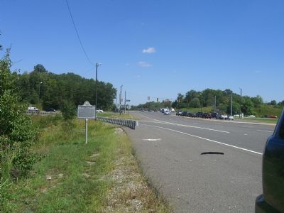
Potomac Path Marker
SHOWN IN SOURCE-SPECIFIED ORDER
| 1 ► Virginia, Prince William County, Woodbridge — 6 — Potomac Path — |
| 2 ► Virginia, Prince William County, Woodbridge — The Old Potomac Path — |
| 3 ► Virginia, Prince William County, Woodbridge — Preserving History — The King's Highway — |
| 4 ► Virginia, Prince William County, Woodbridge — The Potomac Path — The King's Highway — |
| 5 ► Virginia, Prince William County, Dumfries — E-53 — Revolutionary War Campaign of 1781 — |
| 6 ► Virginia, Prince William County, Triangle — Road to Yorktown — The King’s Highway — |
| 7 ► Virginia, Prince William County, Triangle — The Potomac Path — The King’s Highway — |
| 8 ► Virginia, Stafford County, Stafford — E-79 — Peyton’s Ordinary — |
| 9 ► Virginia, Stafford County, Stafford — E-50 — From Indian Path to Highway — |