On Opequon Church Lane, on the right when traveling west.
Around this site and a mile to the west occurred two major battles of the Civil War. First Kernstown March 23, 1862 Stonewall Jackson attacked what appeared to be a withdrawing federal force led by federal Br. Gen. Shields. Desperate . . . — — Map (db m2632) HM
On Opequon Church Lane, on the right when traveling west.
General James Shields with 7,000 Federals defeated Stonewall Jackson with 3,500 Confederates. Jackson's object was to create a diversion which would prevent troops being sent to McClellan for the attack on Richmond. He arrived south of Kernstown in . . . — — Map (db m33024) HM
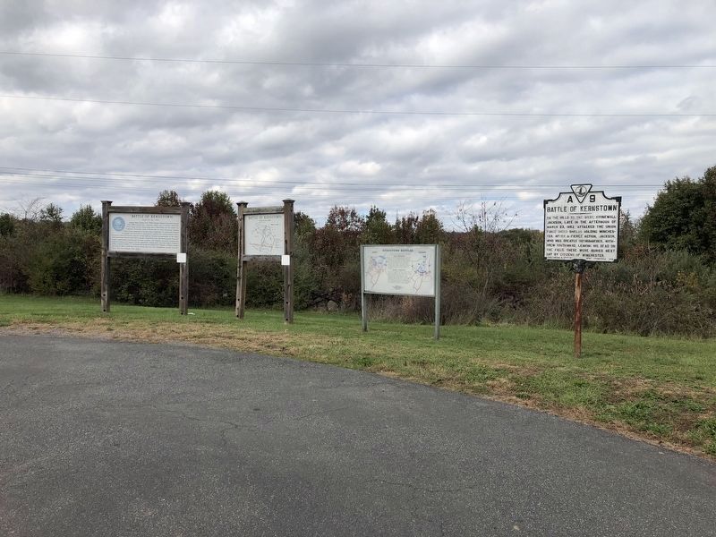
On Opequon Church Lane (State Highway 706) 0.2 miles west of Valley Pike, on the right when traveling west.
On the hill to the west, Stonewall Jackson late in the afternoon of March 23, 1862 attacked the Union force under Shields holding Winchester. After a fierce action, Jackson, who was greatly outnumbered, withdrew southward, leaving his dead on the . . . — — Map (db m3150) HM
Near Battle Park Drive, on the right when traveling west.
The First Battle of Kernstown, fought by 10,000 Americans on March 23, 1862, was the first battle waged in the Shenandoah Valley. Throughout the morning, sixteen Union cannon crowned the knolls of Pritchard’s Hill (the high ground immediately north . . . — — Map (db m2169) HM
Near Battle Park Drive, on the right when traveling west. Reported permanently removed.
The large brick dwelling before you is the Pritchard House, built by Steven C. Pritchard, Jr. and his son Samuel R. Pritchard. During the Civil War, Samuel, his wife Helen, and their two small children occupied the house. Fighting swirled around . . . — — Map (db m2295) HM
Near Battle Park Drive, on the right when traveling west.
Late in the afternoon on July 24, 1864, 1,800 Union soldiers led by Colonel James A. Mulligan fell back to this lane. Major General John B. Gordon’s Confederate force attacked from the ground beyond Opequon Church. Mulligan held off Gordon briefly, . . . — — Map (db m154718) HM
Near Battle Park Drive, on the left when traveling west. Reported permanently removed.
The low, marshy ground stretching from here to the distant road lay uncontested through the five-hour artillery duel that opened the First Battle of Kernstown. The scene changed dramatically at 2:00 P.M. when 900 Virginians marched toward this . . . — — Map (db m2195) HM
Near Battle Park Drive, on the right when traveling west. Reported permanently removed.
At 9:00 A.M. on March 23, 1862, Confederate artillery unlimbered near the Valley Turnpike and fired on this height, called Pritchard’s Hill, to begin the First Battle of Kernstown. Union artillery rolled onto these knolls and responded by . . . — — Map (db m2197) HM
Near Battle Park Drive, on the right when traveling west. Reported permanently removed.
Colonel James A. Mulligan’s Union command of 1,800 men encamped on these heights on the night of July 23-24, 1864. When Confederate cavalry drove Union cavalry back toward Kernstown on the morning of the 24th, Mulligan deployed two cannon on this . . . — — Map (db m154717) HM
On Valley Pike (U.S. 11), on the right when traveling north.
Was fought here Sunday, March 23, 1862 Confederates under Gen. T.J. “Stonewall” Jackson attacked Federals under Gen. James Shields. The fighting was chiefly west of the road and continued from early afternoon until nightfall. When Jackson retired . . . — — Map (db m2635) HM
On Jones Road (County Route 621), on the right when traveling north. Reported permanently removed.
The First Battle of Kernstown, on March 23, 1862, was also the first major Civil War battle fought in the Shenandoah Valley. Throughout the morning, 16 Union cannons on Pritchard’s Hill held off Gen. Thomas J. “Stonewall” Jackson’s overmatched . . . — — Map (db m183304) HM
Near Jones Road (County Route 621), on the right when traveling north. Reported permanently removed.
At the beginning of the Civil War, the third generation of the Scots-Irish Glass family lived at Rose Hill. The household consisted of Thomas Glass (age 67), and his wife Margaret (age 51), his son William (age 25) and fifteen slaves, most of them . . . — — Map (db m185092) HM
Near Jones Road (County Route 621), on the right when traveling north.
On March 23, 1862, the opening conflict of the famous Valley Campaign began on the adjoining Glass and Pritchard farms. You are visiting the Glass Farm called Rose Hill. The neighboring Pritchard Farm is 1½ miles to the southeast (right) of where . . . — — Map (db m154721) HM
Near Jones Road (County Route 621), on the right when traveling north.
The Shenandoah Valley's strategic location and rich farmland caused it to be the scene of two major Civil War campaigns that comprised hundreds of battles and skirmishes. Many Valley farms, like Rose Hill, became battlefields or campgrounds . . . — — Map (db m3498) HM
Near Jones Road (County Route 621), on the right when traveling north.
Northern Colonel Nathan Kimball saw the position of his troops on nearby Pritchard's Hill (1.5 miles left and in front of you) becoming indefensible. Southern artillery recently placed on the higher elevation of Sandy Ridge (just in front of you) . . . — — Map (db m3501) HM
Near Jones Road (County Route 621), on the right when traveling north. Reported permanently removed.
Southern General Thomas Jackson was already going by the nickname "Stonewall" when he directed his troops to this location to support the Southern artillery on Sandy Ridge. Ironically, his troops' retreat from this stone wall led to Jackson's only . . . — — Map (db m185120) HM
Near Jones Road (County Route 621), on the right when traveling north.
Northern commander Colonel Nathan Kimball 1.5 miles away (over the hill on your right) on Prichard's Hill faced the threat of defeat. He decided to seize the initiative and order a second assault against the Southern artillery atop Sandy Ridge. At . . . — — Map (db m3504) HM
Near Jones Road (County Route 621), on the right when traveling north.
As Southern units retreated and resistance fell apart, Northern victory was assured. Jackson found himself surrounded by a disorderly retreat of his soldiers. In the growing dark, a few fresh Southern units made gallant attempts to cover the . . . — — Map (db m3507) HM