Woolford in Dorchester County, Maryland — The American Northeast (Mid-Atlantic)
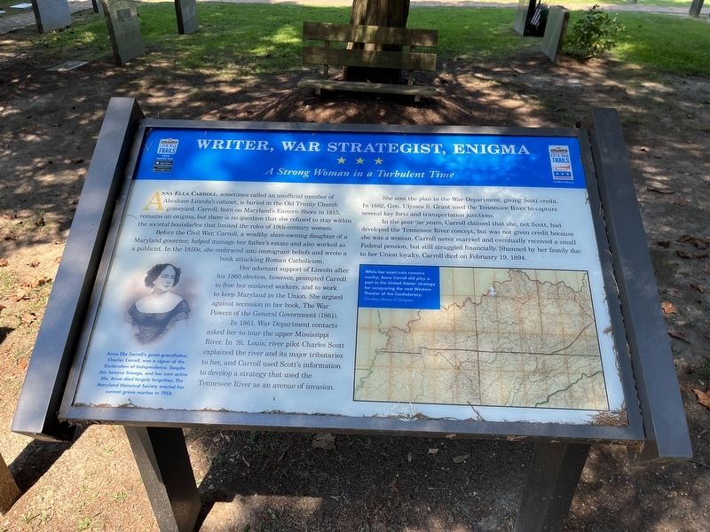
Writer, War Strategist, Enigma
A Strong Woman in a Turbulent Time
Anna Ella Carroll, sometimes called an unofficial member of Abraham Lincoln's cabinet, is buried in the Old Trinity Church graveyard. Carroll, born on Maryland's Eastern Shore in 1815, remains an enigma, but there is no question that she refused to stay within the societal boundaries that limited the roles of 19th-century women.
Before the Civil War, Carroll, a wealthy slave-owning daughter of a Maryland governor, helped manage her father's estate and also worked as a publicist. In the 1950s, she embraced anti-immigrant beliefs and wrote a book attacking Roman Catholicism.
Her adamant support of Lincoln after his 1860 election, however, prompted Carroll to free her enslaved workers, and to work to keep Maryland in the Union. She argued against secession in her book, The War Powers of the General Government (1861).
In 1861, War Department contacts asked her to tour the upper Mississippi River. In St. Louis, river pilot Charles Scott explained the river and its major tributaries to her, and Carroll used Scott's information to development a strategy that used the Tennessee River as an avenue of invasion.
She sent the plan to the War Department, giving Scott credit. In 1862, Gen. Ulysses S. Grant used the Tennessee River to capture several key forts and transportation junctions.
In the postwar years, Carroll claimed that she, not Scott, had developed the Tennessee River concept, but was not given credit because she was a woman. Carroll never married and eventually received a small Federal pension, but still struggled financially. Shunned by her family due to her Union loyalty, Carroll died on February 19, 1894.
[Captions:]
Anna Ella Carroll's great-grandfather, Charles Carroll, was a signer of the Declaration of Independence. Despite this famous lineage, and her own active life, Anna died largely forgotten. The Maryland Historical Society erected her current grave marker in 1958.
While her exact role remains murky, Anna Carroll did play a part in the United States' strategy for conquering the vast Western Theater of the Confederacy.
Erected by Maryland Civil War Trails.
Topics and series. This historical marker is listed in these topic lists: Abolition & Underground RR • Arts, Letters, Music • Cemeteries & Burial Sites • War, US Civil • Women. In addition, it is included in the Maryland Civil War Trails series list. A significant historical date for this entry is February 19, 1894.
Location. 38° 30.235′ N, 76° 10.003′ W. Marker is in Woolford, Maryland, in Dorchester County. Marker can be reached
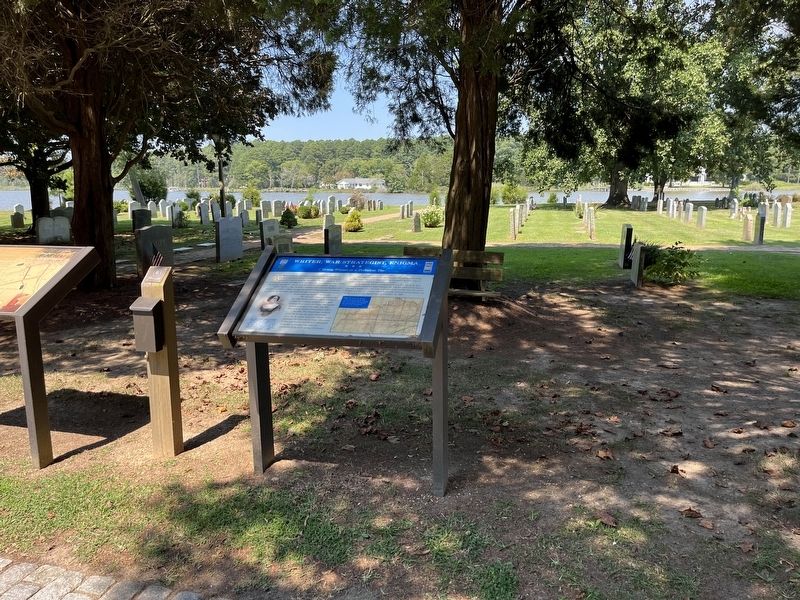
Other nearby markers. At least 8 other markers are within 4 miles of this marker, measured as the crow flies. Trinity P.E. Church (here, next to this marker); Walk the Old Trinity Heritage Trail (here, next to this marker); Finding Freedom (approx. 0.8 miles away); Treaty Oak (approx. 0.9 miles away); Church Creek (approx. one mile away); Malone's Church (approx. 2.8 miles away); Gethsemane Methodist Protestant Church (approx. 3 miles away); Madison (approx. 3.1 miles away). Touch for a list and map of all markers in Woolford.
Related marker. Click here for another marker that is related to this marker. This marker has replaced the linked marker.
Credits. This page was last revised on August 30, 2022. It was originally submitted on August 30, 2022, by Devry Becker Jones of Washington, District of Columbia. This page has been viewed 114 times since then and 21 times this year. Photos: 1, 2. submitted on August 30, 2022, by Devry Becker Jones of Washington, District of Columbia.

