5 entries match your criteria.
Related Historical Markers
Battle of Hatcher's Run by markers.
By Bill Coughlin, April 24, 2007
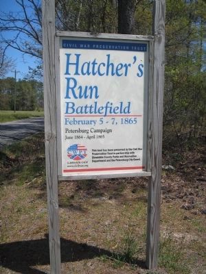
Hatcher's Run Battlefield
SHOWN IN SOURCE-SPECIFIED ORDER
| On Dabney Mill Road (Virginia Route 613), on the right when traveling east. |
| On Dabney Mill Road (Virginia Route 613), on the right when traveling east. |
| On Dabney Mill Road (Virginia Route 613), on the right when traveling east. |
| On Boydton Plank Road (U.S. 1) 0.3 miles north of White Oak Road, on the right when traveling north. |
| On Dabney Mill Road (Virginia Route 613), on the right when traveling east. |
May. 17, 2024