By Barry Swackhamer, September 8, 2015
Virginia Dale Marker
GEOGRAPHIC SORT Title Sort Marker Number Sort Marker Number Sort N Marker Number Sort T Publication Order Sort Publication Order Sort A Erected Year Sort Most Viewed Sort Most Recent-Interest Sort Most Recently Changed Sort SEE FAQ #33 FOR DESCRIPTIONS
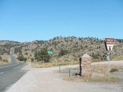
On U.S. 287 at County Route 43F, on the right when traveling north on U.S. 287.
On U.S. 287 near High Lonesome Road, on the left when traveling north.
On County Route 28, 6 miles west of U.S. 385, on the right when traveling west.
On West Bridge Street at South Meridian Street, on the left when traveling west on West Bridge Street.
On U.S. 20 near Northeast Teapot Road, on the right when traveling south.
On U.S. 30 near Little Cedar Street, on the left when traveling west.
On Stricker Cabin Road at East 3200 North (Pumpland Road), on the left when traveling east on Stricker Cabin Road.
On Stricker Cabin Road near East 3200 North (Pumpland Road), on the right when traveling east.
On Main Street, 0.1 miles North Oak Street, on the right when traveling west.
On Interstate 80 at milepost 355.2, on the right when traveling west.
On Pony Express Trail Road, on the left when traveling east.
On State Highway 230 near County Route 33, on the left when traveling west.
On State Highway 230 near Gerhart Road, on the left when traveling west.
Paid Advertisement
On Snowy Range Road (State Highway 130) near Cactus Hill Road, on the right when traveling west.
On U.S. 287, on the right when traveling north.
Near Interstate 80 at Elk Mountain Arlington Road.
On State Highway 130, 0.7 miles south of Pass Creek Rd, on the right when traveling south.
On State Highway 789 near Interstate 80, on the right when traveling south.
On State Highway 789 near Interstate 80, on the right when traveling south.
On Uinta Drive (State Highway 530) at W. Astle Avenue, on the right when traveling north on Uinta Drive.
On Uinta Drive (State Highway 530) near West Astle Avenue, on the right when traveling north.
On I-80 Service Road North (State Highway 377), on the left when traveling east.
On I-80 Service Road South, on the left when traveling west.
On Black Butte Road at Oregon Trail on Black Butte Road.
On Springs Drive near Raindance Drive, on the right when traveling north.
On Business Interstate 80 at Main Street, on the right when traveling east on Interstate 80Business .
