On Dranesville Road (Virginia Route 228) 0.1 miles south of Bennett Street, on the right when traveling south.
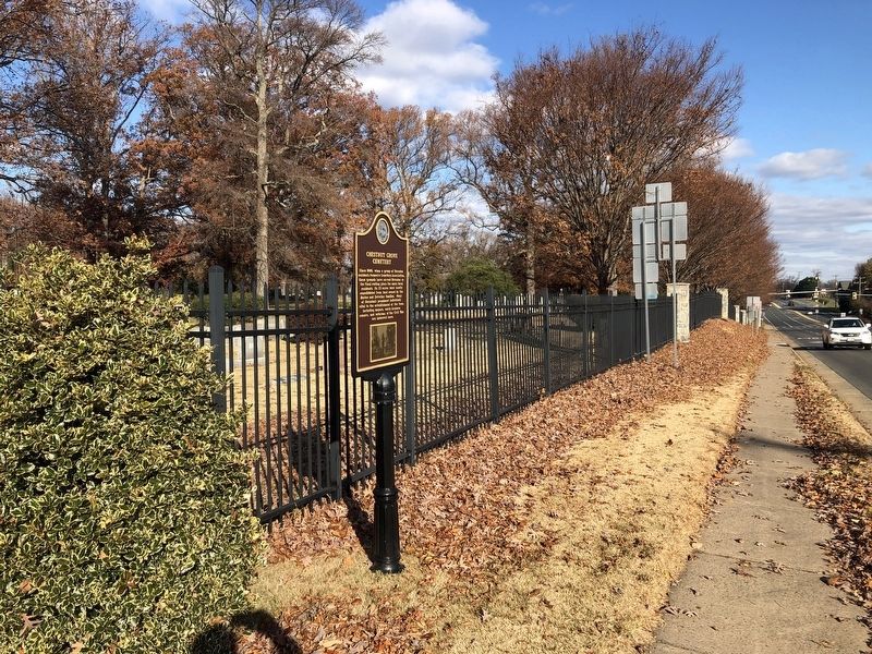
Since 1880, when a group of Herndon residents formed a Cemetery Association, these grounds have served Herndon as the final resting place for many local residents. Its 23 acres were mostly consolidated from land owned by the Barker and Detwiler . . . — — Map (db m186890) HM
On Locust Street near Lilian Chase Lane, on the right when traveling east.
The Coleman family, which included the Revolutionary War officer Col. John Coleman, built their home on this site around 1800. It was one of the earliest houses in the area. The Coleman's managed a 300-acre farm, a portion of which later became an . . . — — Map (db m126634) HM
On Ferndale Avenue at Vine Street, on the right when traveling north on Ferndale Avenue.
Built in 1876, Elwardstone was the home of Isaiah Bready, the first mayor of Herndon. Bready operated a portion of the original 200 acre family property, which reached from the Herndon Centennial Golf Course to Grace Street, as a dairy farm. This . . . — — Map (db m126635) HM
Near Herndon Parkway, 1 mile north of Reneau Way, on the right when traveling north.
This unique stone cabin was built c. 1909 by James A. Hawkins, a local banker and farmer. It originally served as the residence for a twenty acre farm that bordered Sugarland Run. The house was later occupied by the Martz and Carroll families up . . . — — Map (db m186876) HM
On Lynn Street north of Station Street, on the right when traveling north.
The Moffett family operated a blacksmith shop on this site from 1906 to 1955. William Henry Moffett, a fifth-generation blacksmith, took the shop over from his father after it was burned and rebuilt in 1917. Fairfax County Park Authority bought the . . . — — Map (db m133076) HM
On Lynn Street just north of Elden Street (Virginia Route 606), on the left when traveling north.
In the early 1900s Herndon dairy farmers led the state in production. For decades, dairy farming was the primary industry and dominant land use of Herndon. Herndon downtown businesses flourished in support of the industry. The railroad provided a . . . — — Map (db m145967) HM
On Spring Street north of Locust Street, on the right when traveling north.
After the "Big Fire" of 1917 the Town Council and Citizen's Association formed a volunteer fire department, the fourth in Fairfax County. By 1949, the Herndon fire department had 150 volunteers, and in 1950, the original 1929 fire house was replaced . . . — — Map (db m126633) HM
On Spring Street at Locust Street, on the right when traveling north on Spring Street.
The Herndon Fortnightly Club was founded in 1869 by eleven women interested in studying literature, art, science, and the popular interests of the day. Early on, the Club decided to start lending books. By 1900 they had collected over 1000 volumes. . . . — — Map (db m126632) HM
On Grace Street just north of Haley Place, on the right when traveling south.
Mary Lee Castleman, an active member of the St. Timothy's Episcopal Mission, wanted to establish a proper school for girls. She first established the Herndon Seminary on the upper floor of the old mission building, formerly located at the corner of . . . — — Map (db m186873) HM
On Elden Street (Virginia Route 228/606) just west of Spring Street (Virginia Route 675), on the left when traveling west.
This building was built in 1921 by Thomas E. Reed as the Herndon Theatre. Reed operated the building as a movie house for several years. He sold it to Henry Lego who continued to operate the theater. Up until its closure in the 1960s, the Herndon . . . — — Map (db m186868) HM
On Elden Street (Virginia Route 606) at Station Street, on the right when traveling west on Elden Street.
The Town Hall was built in 1939 as a government-funded Federal Emergency Administration of Public Works project. It was Herndon's first official municipal building and has since provided important utility to the community. Many Town departments . . . — — Map (db m145966) HM
On Lynn Street at Nachman Way, on the right when traveling north on Lynn Street.
Lynn Street and Station Street developed in the mid-19th century as Herndon's center of activity and commerce. Proximity to the railroad depot and daily visitor, farmer, resident, and commuter traffic made this area convenient for business. At the . . . — — Map (db m115844) HM
On Van Buren Street (Virginia Route 666) at Monroe Street, on the right when traveling south on Van Buren Street.
Around the turn of the 19th century, Herndon became a popular summer destination for those looking for a change of pace from Washington D.C. An hour ride by train provided a convenient option for visitors to enjoy the Virginia countryside in . . . — — Map (db m115851) HM
On Elden Street (Virginia Route 606) at Center Street, on the right when traveling west on Elden Street.
Constructed in 1872 for a North Methodist Episcopal congregation, this building ushered in a church building period in Herndon. By 1915 six churches served Herndon's growing population around its historic center. After 67 years at this location and . . . — — Map (db m126640) HM
On Pine Street west of Monroe Street (Virginia Route 228), on the right when traveling west.
Pine Street was already established when Herndon became a Town in 1879. Its historic mix of uses demonstrated the importance of downtown in providing local services to residents. in the 19th and early 20th centuries it had the largest building in . . . — — Map (db m126639) HM
On Elden Street (Virginia Route 606) east of Spring Street (Virginia Route 675), on the right when traveling east.
On March 17, 1863, "The Grey Ghost," Captain John Singleton Mosby, and his band of Confederate Rangers of the 43rd Battalion, Virginia Cavalry, conducted a surprise daytime attack near Herndon's railroad station. Mosby's Rangers captured Union . . . — — Map (db m115850) HM
On Sterling Road (Virginia Route 606) just east of Rock Hill Road, on the right when traveling east. Reported missing.
The Oak Grove School operated on this site from 1953 to 1964, with educator Earl L. Pulley as principal. The school served African American elementary students from the Town of Herndon and surrounding areas of both Fairfax and Loudoun Counties. . . . — — Map (db m187627) HM
On Dranesville Road (Route 229) 0.1 miles north of Worchester Street, on the right when traveling north.
Built on this site in the early 1780s, the George Payne house is thought to be the oldest house still standing in the Town of Herndon. Payne was a nephew of William Payne, a close friend of George Washington. The original two-story, four-room, . . . — — Map (db m145083) HM
On the night of March 22, 1917, a fire started at a nearby livery consumed downtown Herndon including this portion of Station Street and much of Pine Street. Although the use of dynamite prevented further devastation, fourteen buildings were lost. . . . — — Map (db m126637) HM
On Center Street just south of Vine Street, on the right when traveling south.
The house on this property was Herndon's first public school. It was built in 1868 as a one room schoolhouse and expanded to three rooms in the 1870s. It was a segregated school that the Herndon School Association operated for children of all . . . — — Map (db m186869) HM
On Pearl Street at Oak Street, on the right when traveling north on Pearl Street.
The Yellow House, built in the mid 1800s on Elden Street, overlooked the downtown with its two-story porch and vibrant color. It was residence of Madison Whipple, the Postmaster of Herndon in the 1860s, and later Thomas Reed, Herndon's first . . . — — Map (db m186867) HM