Ruins of the Roswell Manufacturing Company Mills are located in Roswell, Georgia on the banks of Vickery Creek. The 1839 and 1853 mills were burned by Union forces on July 7, 1864. The 1853 mill was rebuilt after the Civil War and used until destroyed by fire again in 1926.
Manufacturing textiles from raw cotton required many different processes. Each process required the use of specialized machinery.
The Roswell Manufacturing Company purchased local cotton that was hauled to the factory n wagons by area farmers. . . . — — Map (db m228197) HM
After the Civil War, the 1839 factory was not rebuilt. According to a letter written by Barrington King to his son Ralph Browne King, it was decided that only the 1854 mill would be reconstructed. The foundation of the newer mill was good and the . . . — — Map (db m228108) HM
In 1832, the State of Georgia held a lottery to distribute land located north of the Chattahoochee River. This land was formerly part of the Cherokee Nation. The Cherokee Indians were removed to land west of the Mississippi over the route, which . . . — — Map (db m227728) HM
During the Civil War, the Roswell Manufacturing Company produced supplies for the Confederate States of America. The cotton mills were filling orders for muslin, rope, and cotton duck cloth for tents. Further downstream, Ivy Mills, owned by James . . . — — Map (db m228111) HM
Henry Merrell, assistant agent for the Roswell Manufacturing Company, kept a journal describing his experiences in the town of Roswell from 1839 through 1845. In 1839, he made the following remark about the foundation of the mill:
Upon my . . . — — Map (db m228110) HM
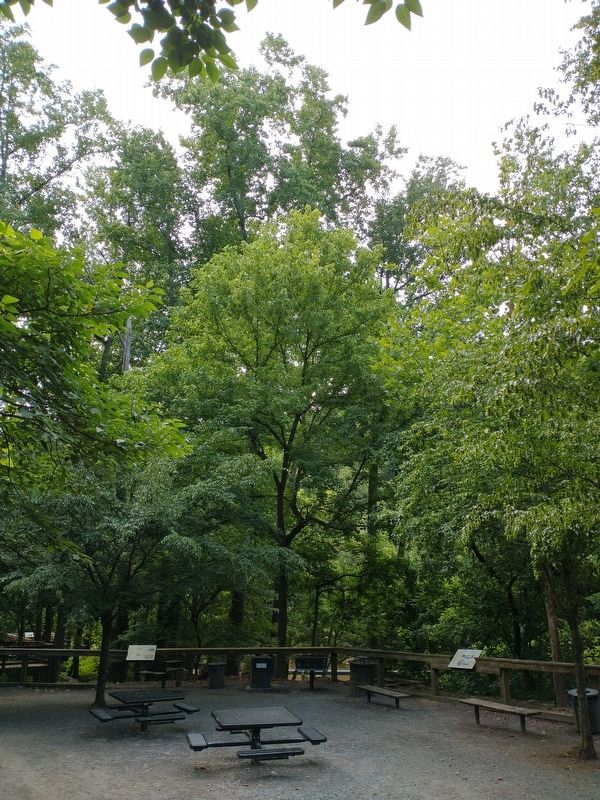
The machinery in the turbine housing, the wheel pit, and the tailrace are still visible in front of this panel. These items record the growth and development of the Roswell Manufacturing Company from the 1850s until the last generator was silenced . . . — — Map (db m228277) HM
Mills were located along rivers or creeks that were typically shallow with rapids providing swift flowing waterpower to the machinery in the mill. A dam was used to concentrate the flow of water in a reservoir or mill pond.
Construction of a . . . — — Map (db m228278) HM
Mill workers were generally poor white tenant farmers who sought to better their condition. They desired the stable employment and steady wages that resulted from working in a mill.
It was not uncommon for entire families, including children, . . . — — Map (db m228199) HM
During the Civil War, the cotton mills produced sheeting, tenting, yarn, and rope for the Confederate War effort. Barrington King invested heavily in Confederate bonds on behalf of the Roswell Manufacturing Company.
On the 5th of July 1864, . . . — — Map (db m228279) HM
1839 Mill - The 1839 Mill was a three-story brick structure, measuring 88 feet by 48 feet. It was destroyed by Union soldiers in 1864 and was never rebuilt. All that remains are portions of a rock wall that served as part of the tailrace and . . . — — Map (db m227974) HM
Roswell King’s primary objective from the very beginning was to establish a textile industry in the area.
In 1835, Roswell King purchased Land Lot #416 in the 1st District, 2nd Section, the location of the first cotton mill. Site preparations . . . — — Map (db m227978) HM
Vickery Creek (also known as Big Creek) is a 26.5 mile-long stream in Forsyth and Fulton Counties. It is named after Charlotte Vickery, a Cherokee, who owned extensive property near its headwaters in Forsyth County in the nineteenth century. The . . . — — Map (db m228113) HM
Now named Big Creek, this waterway was historically known as Vickery Creek. The creek was named for Charlotte Vickery, a Cherokee woman, who owned a farm along the creek’s headwaters in Forsyth County during the 1830s.
For over 140 years, the . . . — — Map (db m227973) HM