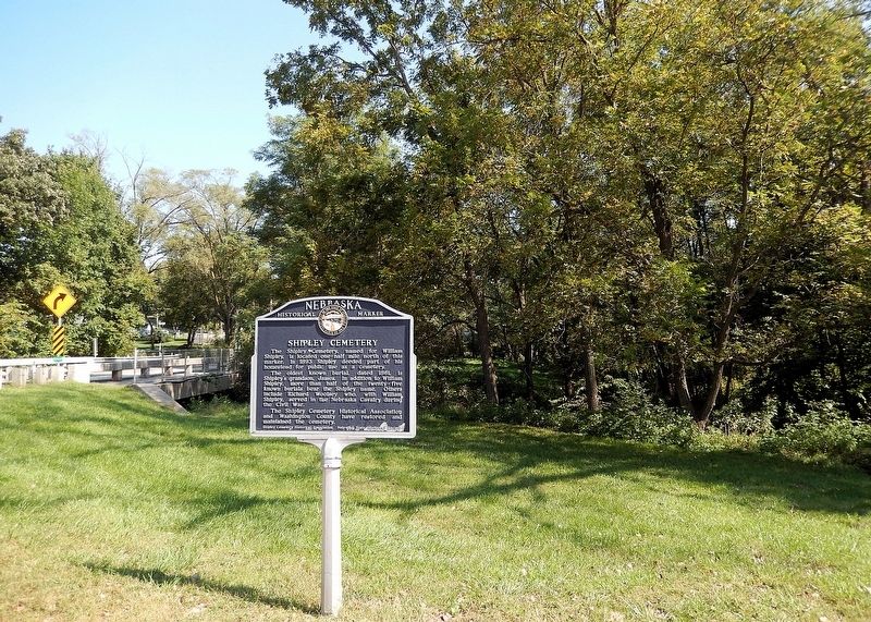
The Shipley Cemetery, named for William Shipley, is located one-half mile north of this marker. In 1893 Shipley deeded part of his homestead for public use as a cemetery. The oldest known burial, dated 1861, is Shipley’s grandson, James. In . . . — — Map (db m287973) HM
In 1965, the entire downtown area of Pateros was destroyed when Wells Dam, located six miles downstream, was being constructed on the Columbia River. The entire downtown business district of Pateros was leveled. Paralleling the Columbia River, . . . — — Map (db m129014) HM
Built in the early 1900’s and known at
that time as the “Nevada Consolidated
Telephone and Telegraph Company,” only
five telephone lines were originally
installed in Gardnerville. “Long
Distance Connections . . . — — Map (db m15835) HM
This is the site of the explosion which occurred in the early hours of August 7, 1959, resulting in fourteen deaths and injuring fifty seven persons. A fire in a lumber yard detonated a truck loaded with explosives and caused property losses . . . — — Map (db m112863) HM
Thin black lines indicate changes in relevance. Between each pair of lines entries are ordered geographically but all have the same relevance.
* Inflectional forms of words are their plurals, singulars, and possessives as well as gramatical tenses and similar variations.