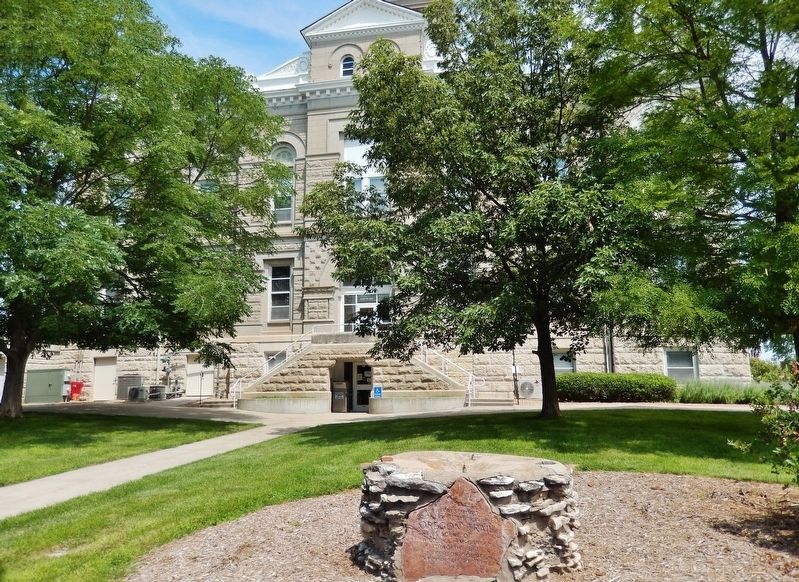
Pony Express riders and Oregon Trail emigrants used Virginia Station, once located near this site. Indians traded for whiskey at the station and harassed the emigrant trains. The whiskey was dumped in a near-by creek, thus dubbing the station . . . — — Map (db m177351) HM
Just over the state line in West Virginia is the grave of physician and politician John Floyd. He was born in Jefferson County, Virginia (now Kentucky), on 24 Apr. 1783. He married Laetitia Preston in 1804 and received his medical degree from the . . . — — Map (db m295842) HM
Born, Jefferson County, Kentucky, April 24, 1783 a distinguished son of the American frontier, he served his nation as a soldier, physician, and legislator. Following service as an officer in the Virginia Militia, and as a surgeon in the War of . . . — — Map (db m34486) HM
first panel
Rex T. Barber was one of 16 fighter pilots who participated in the famous - and then Top Secret - “Yamamoto” mission, which helped turn the tide of World War II against the Japanese.
Born in Culver, Oregon, in . . . — — Map (db m113386) HM
The boundaries of the future Thayer County were first defined in 1856, and the county was named Jefferson. In 1867 Jones County to the east was attached. The legislature in 1871 divided the single large county into two, naming the western county . . . — — Map (db m79885) HM
The Martin Brothers
There's More to the Story
After decades of failed treaties, disease epidemics, and the repeated loss of territory, the conditions of Native American tribes on the plains consistently became worse. When the . . . — — Map (db m287724) HM
Thin black lines indicate changes in relevance. Between each pair of lines entries are ordered geographically but all have the same relevance.
* Inflectional forms of words are their plurals, singulars, and possessives as well as gramatical tenses and similar variations.