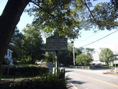
Boundary line between Norfolk and Plymouth Counties, originally established in 1640 as the boundary between the colonies of Massachusetts Bay and New Plymouth. — — Map (db m298864) HM
The Wharf Area
Industrial Epicenter for the Harbor and Town
The period of time between the mid 1600's through the mid 1800's defined Scituate as one of the most prosperous harbors between Boston and New Bedford. As maritime based industries grew . . . — — Map (db m304874) HM
The Wetumpka Fruit Company, founded and headquartered in Boston, Massachusetts, became one of the largest agricultural businesses to plant citrus groves in St. Johns County. In 1881, George Waterman Leonard and his wife, Emma Jeanette Billings . . . — — Map (db m264432) HM
Site of the First Fort Built in 1621 Lower part used for church Also site of the fort built in 1675 which was 100 ft sq. Sides 10½ ft high — — Map (db m107456) HM
Alexander Scammell
1747 -- 1781
Teacher Soldier Patriot
He taught the public school on this site
Colonel and Adjutant General in the
Continental Army
mortally wounded at Yorktown
This memorial dedicated by the
General . . . — — Map (db m73209) HM WM
Thin black lines indicate changes in relevance. Between each pair of lines entries are ordered geographically but all have the same relevance.
* Inflectional forms of words are their plurals, singulars, and possessives as well as gramatical tenses and similar variations.