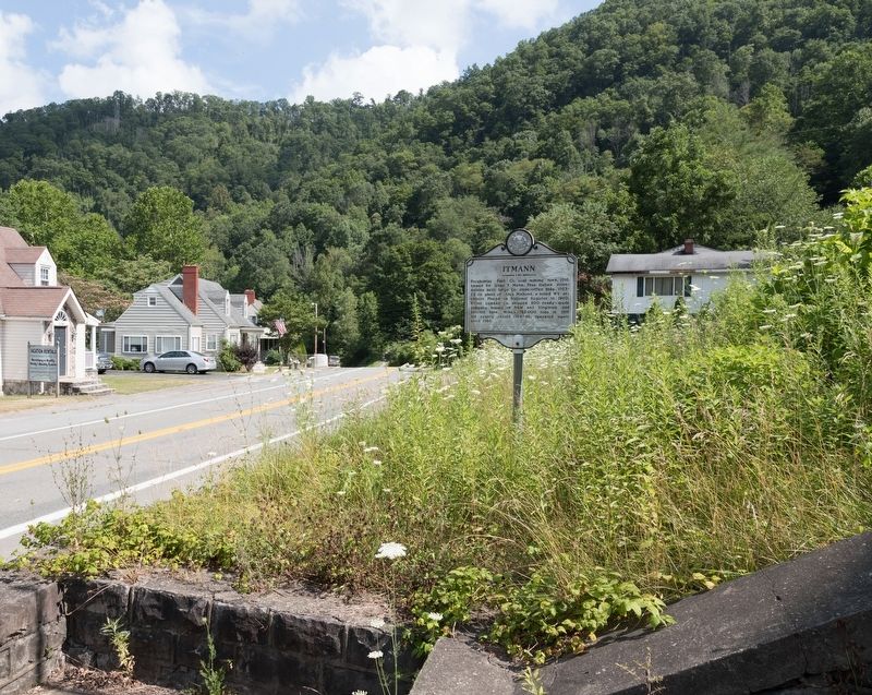
On West Virginia Route 10 3.6 miles west of Mullens, on the right when traveling west.
Pocahontas Fuel Company coal mining town, 1916,
named for Isaac T. Mann, President. Italian stonemasons built large Company store/office building, 1923-1925
on plans of Alex Mahood, a noted West Virginia architect. Placed on National Register in . . . — — Map (db m138396) HM
On Main Avenue (West Virginia Route 97) at River Drive Avenue ( Route 10), on the left when traveling west on Main Avenue.
Here is the statue of Rev. W. H. Cook, soldier, statesman, and minister. Oceana was the county seat for many years. Wyoming County is noted for the Burning Rocks where warm air from the earth’s depths melts ice or snow in winter. — — Map (db m138400) HM
On Appalachian Highway (Route 10) 0.1 miles west of Clacey Lane, on the right when traveling west.
This is the site of a romance between Thompson L. Walker, a Confederate soldier, and Martilia Walker, the daughter of a staunch Unionist. Pvt. Thompson Walker enlisted in Company B, 23rd Virginia Infantry Battalion, on July 12, 1862, and fought . . . — — Map (db m138413) HM
On Princeton Avenue (U.S. 19) east of Bland Street (U.S. 52), on the right when traveling east.
"Coal is known to be in so many places, as to have induced an opinion that the whole tract between the Laurel Mountain and Ohio yields coal." — Thomas Jefferson, 1785
Bluefield is the Southern Gateway to West . . . — — Map (db m305245) HM
On Main Street (County Route 120) at Simmons Avenue (Route 120), on the left when traveling west on Main Street.
Stretching across western Mercer County through McDowell and southern Wyoming counties is the Pocahontas coalfield, one of the most productive, coal-bearing areas in the world. In this area, 6 seams of high-quality coal can be found close to the . . . — — Map (db m179086) HM
On Princeton Avenue (U.S. 19) at Tony Wagner Avenue, on the right when traveling east on Princeton Avenue.
Points of Interest ~
Ansted* – Visit the Ansted Heritage Museum, Hawks Nest State Park, or take a hike on the Ansted Rail Trail.
Ashland – Locally made crafts may be purchased at the restored Ashland Company . . . — — Map (db m304941) HM
On Dixie Highway (West Virginia Route 16) just north of Twenty Mile Creek Road (Route 16/3), on the left when traveling south.
Nearby is grave of Seaberry Osborne (circa, 1815-66), daughter of Chief Running Bear. She married Solomon Osborne in Cherokee, N.C. and in 1838 fled to escape “Trail of Tears.” The Native American pioneers found sanctuary in the mountains and land . . . — — Map (db m138009) HM
On Main Street (County Route 120) at Simmons Avenue, on the left when traveling east on Main Street.
While the description of Bramwell as a town of millionaires can be
viewed as an exaggeration, it did have a significant number of wealthy
families. Their wealth was built largely upon the rapid growth of the
Pocahontas coalfield and Bramwell’s . . . — — Map (db m179168) HM
Thin black lines indicate changes in relevance. Between each pair of lines entries are ordered geographically but all have the same relevance.
* Inflectional forms of words are their plurals, singulars, and possessives as well as gramatical tenses and similar variations.