New Smyrna Beach in Volusia County, Florida — The American South (South Atlantic)
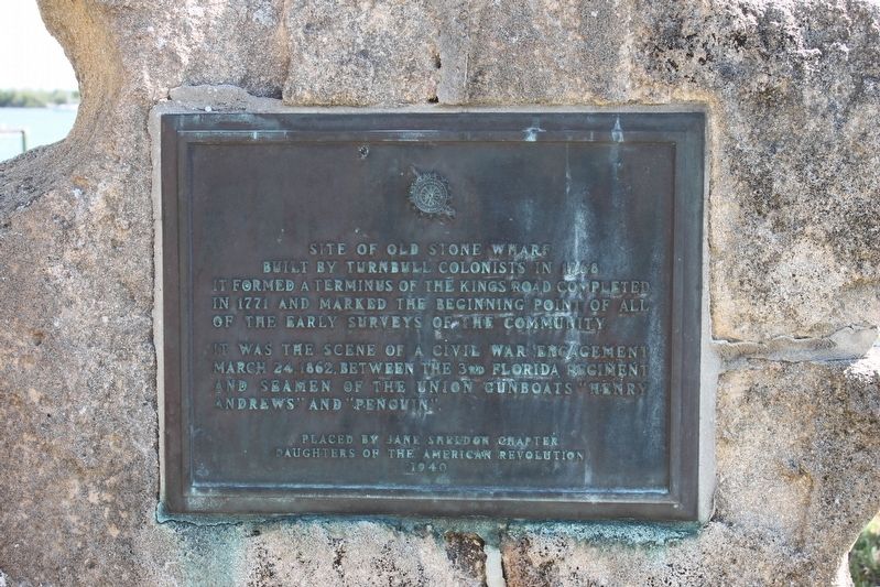
Site of Old Stone Wharf
It was the scene of a Civil War engagement March 24, 1862 between the 3rd Florida Regiment and seamen of the Union gunboats "Henry Andrews" and "Penguin."
Erected 1940 by Jane Sheldon Chapter Daughters of the American Revolution.
Topics and series. This historical marker is listed in these topic lists: Colonial Era • Roads & Vehicles • War, US Civil • Waterways & Vessels. In addition, it is included in the Daughters of the American Revolution series list. A significant historical year for this entry is 1768.
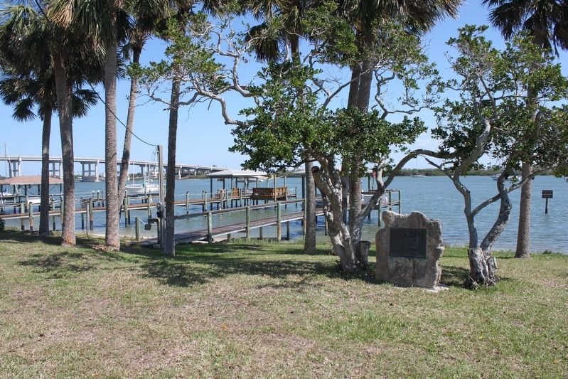
Location. 29° 1.181′ N, 80° 55.095′ W. Marker is in New Smyrna Beach, Florida, in Volusia County. Marker is at the intersection of South Riverside Drive and Clinch Street, on the right when traveling north on South Riverside Drive. Marker is located between S Riverside Dr and the Indian River. Touch for map. Marker is in this post office area: New Smyrna Beach FL 32168, United States of America. Touch for directions.
Other nearby markers. At least 8 other markers are within walking distance of this marker. Supreme Sacrifice (approx. 0.3 miles away); PFC Emory L. Bennett (approx. 0.4 miles away); The New Smyrna Odyssey (approx. 0.4 miles away); Turnbull Canal (approx. 0.4 miles away); Vietnam Memorial (approx. half a mile away); New Smyrna Museum Of History (approx. half a mile away); Emory L. Bennett Park (approx. half a mile away); 1768 British Colony of New Smyrna (approx. 0.6 miles away). Touch for a list and map of all markers in New Smyrna Beach.
Credits. This page was last revised on August 19, 2020. It was originally submitted on March 5, 2017, by Tim Fillmon of Webster, Florida. This page has been viewed 615 times since then and 50 times this year. Photos: 1, 2. submitted on March 5, 2017, by Tim Fillmon of Webster, Florida. • Bernard Fisher was the editor who published this page.

