Aberdeen in Monroe County, Mississippi — The American South (East South Central)
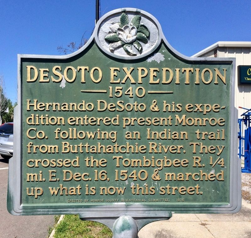
DeSoto Expedition
| — | 1540 | — |
Photographed by Mark Hilton, April 9, 2017
1. DeSoto Expedition Marker
Erected 1976 by Monroe County Bicentennial Committee.
Topics. This historical marker is listed in these topic lists: Colonial Era • Exploration • Roads & Vehicles • Waterways & Vessels. A significant historical date for this entry is December 16, 1540.
Location. 33° 49.489′ N, 88° 32.46′ W. Marker is in Aberdeen, Mississippi, in Monroe County. It is at the intersection of East Commerce Street (Mississippi Route 145) and Locust Street, on the right when traveling west on East Commerce Street. Touch for map. Marker is at or near this postal address: 214 East Commerce Street, Aberdeen MS 39730, United States of America. Touch for directions.

Regionally, this marker is in East Mississippi, specifically in the Black Prairie, in the Golden Triangle, and in the North Mississippi Hills. It is also in the American South, specifically in the Deep South, and in the Black Belt. Globally, it is in North America, a Gulf of Mexico state, the Western Hemisphere, the Western World, and the Anglosphere. Historically, it finds itself in what was once the territory of the Mississippian Culture, one of the Confederate States of America, and the Antebellum South.
Other nearby markers. At least 8 other markers are within
this page online
Also see . . . Wikipedia article on Hernando DeSoto. (Submitted on April 10, 2017, by Mark Hilton of Montgomery, Alabama.)
Public Domain
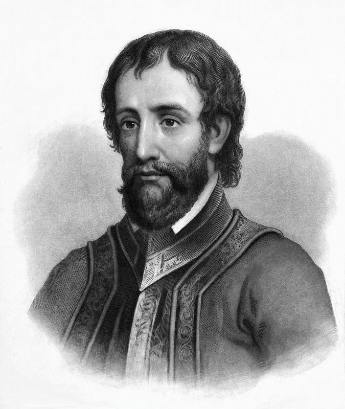
2. Hernando deSoto (c. 1495 – May 21, 1542)
Photographed by Mark Hilton, April 9, 2017
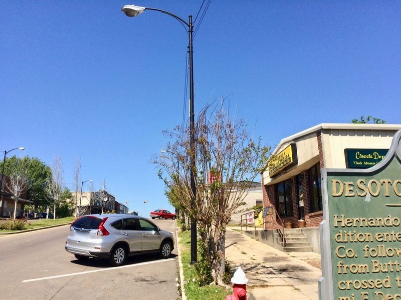
3. Looking west on Commerce Street.
Photographed by Mark Hilton, April 9, 2017
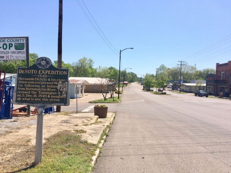
4. The view east on Highway 145 towards the Tombigbee River.
Credits. This page was last revised on November 23, 2019. It was originally submitted on April 10, 2017, by Mark Hilton of Montgomery, Alabama. This page has been viewed 776 times since then and 55 times this year. Photos: 1, 2, 3, 4. submitted on April 10, 2017, by Mark Hilton of Montgomery, Alabama.
