Glenville in Schenectady County, New York — The American Northeast (Mid-Atlantic)
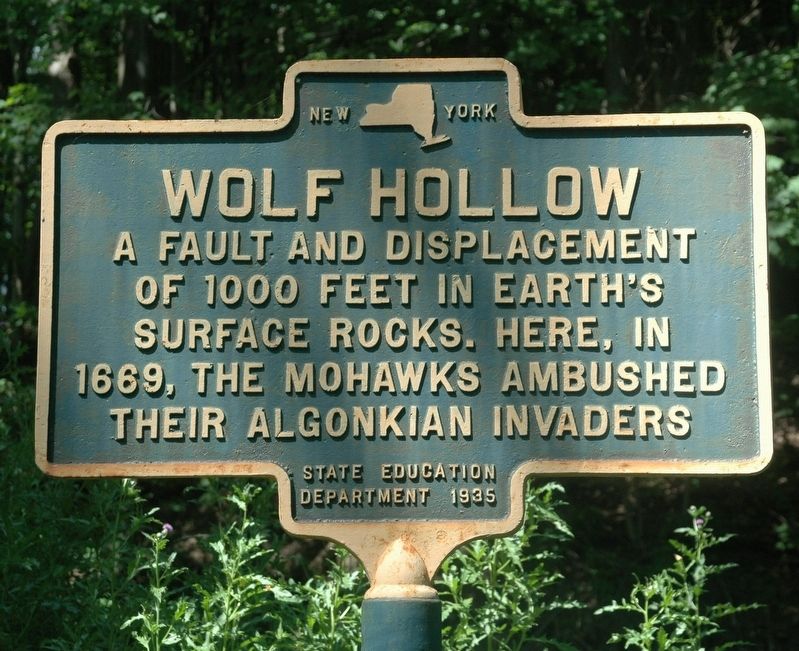
Wolf Hollow
of 1000 Feet in Earth's
Surface Rocks. Here, In
1669, The Mohawks Ambushed
Their Algonkian Invaders
Erected 1935 by New York State Education Department.
Topics. This historical marker is listed in these topic lists: Anthropology & Archaeology • Colonial Era • Native Americans. A significant historical year for this entry is 1669.
Location. 42° 54.24′ N, 74° 4.45′ W. Marker is in Glenville, New York, in Schenectady County. Marker is at the intersection of Wolf Hollow Road and Hoffman's Hill Road, on the right when traveling north on Wolf Hollow Road. Touch for map. Marker is in this post office area: Schenectady NY 12302, United States of America. Touch for directions.
Other nearby markers. At least 8 other markers are within 2 miles of this marker, measured as the crow flies. Kinaquariones (approx. 0.6 miles away); First Church in Glenville (approx. 0.6 miles away); Cement Mill (approx. 0.6 miles away); Hoffmans Ferry (approx. 0.6 miles away); A Notable Home (approx. 0.7 miles away); a different marker also named Wolf Hollow (approx. one mile away); Johnson Hall – 1763 (approx. 1.3 miles away); Vedder Tavern (approx. 1½ miles away). Touch for a list and map of all markers in Glenville.
Related marker. Click here for another marker that is related to this marker.
Also see . . . Geology of Wolf Hollow, Schenectady County, NY. (Submitted on July 7, 2017, by Howard C. Ohlhous of Duanesburg, New York.)
Additional keywords. Wolf Hollow Road

Photographed By Howard C. Ohlhous, July 7, 2017
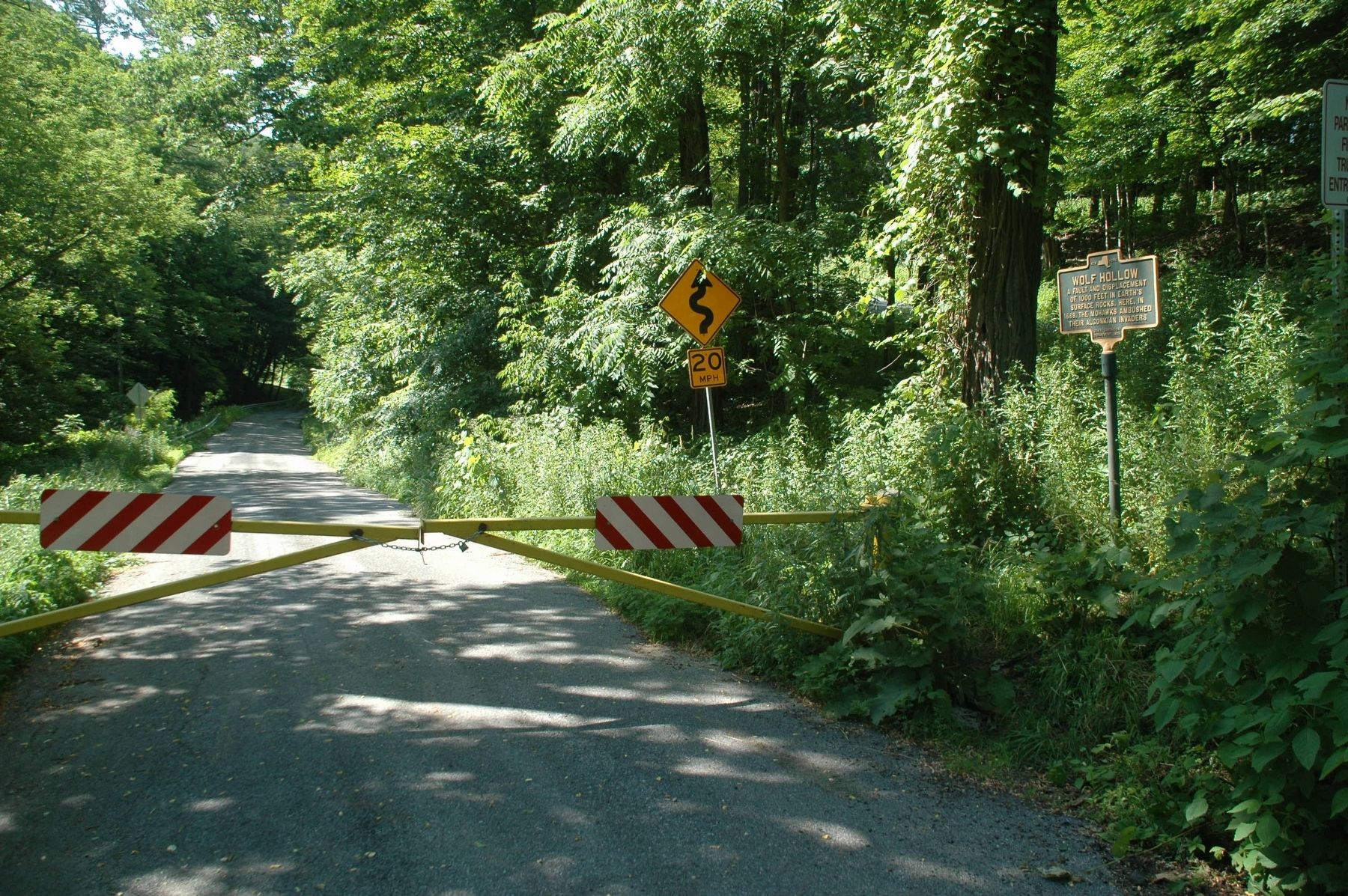
2. Wolf Hollow Road & Marker
Wolf Hollow Road, a roughly 1.1-mile roadway winding through a geological fault in Glenville, has been closed since Tropical Storm Irene, in late August of 2011, but open to bike and foot traffic. The roadway winds through a dramatic ravine created by erosion at the site of Hoffman’s Fault.
Credits. This page was last revised on November 14, 2019. It was originally submitted on July 7, 2017, by Howard C. Ohlhous of Duanesburg, New York. This page has been viewed 906 times since then and 109 times this year. Photos: 1, 2. submitted on July 7, 2017, by Howard C. Ohlhous of Duanesburg, New York. • Bill Pfingsten was the editor who published this page.
