Near Bar Harbor in Hancock County, Maine — The American Northeast (New England)
Picture Perfect?
Acadia National Park
| — | National Park Service, U.S. Department of the Interior | — |
Photographed by Bill Coughlin, July 10, 2017
1. Picture Perfect? Marker
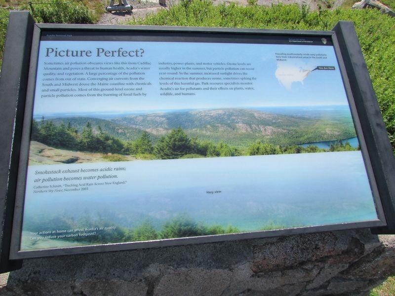
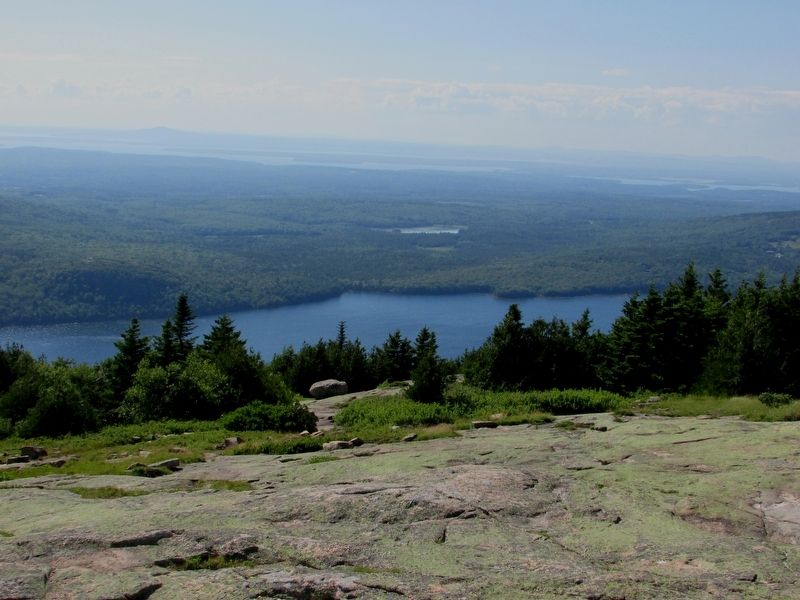
Sometimes air pollution obscures views like this from Cadillac Mountain and poses a threat to human health, Acadia’s water quality, and vegetation. A large percentage of the pollution comes from out of state. Converging air currents from the South and Midwest douse the Maine coastline with chemicals and small particles. Most of this ground-level ozone and particle pollution comes from the burning of fossil fuels by industry, power plants, and motor vehicles. Ozone levels are usually higher in the summer, but particle pollution can occur year-round. In the summer, increased sunlight drives the chemical reaction that produces ozone, sometimes spiking the levels of this harmful gas. Park resource specialists monitor Acadia’s air for pollutants and their effects on plants, water, wildlife, and humans.
"Smokestack exhaust becomes acidic rains; air pollution becomes water pollution."
Catherine Schmitt, 'Tracking Acid Rain Across New England,'
Northern Sky News, November 2003
Prevailing southwesterly winds carry pollutants here from industrialized areas in the South and Midwest.
Your actions at home can affect Acadia’s
this page online
Erected by National Park Service, U.S. Department of the Interior.
Topics. This historical marker is listed in these topic lists: Environment • Natural Features • Parks & Recreational Areas • Waterways & Vessels.
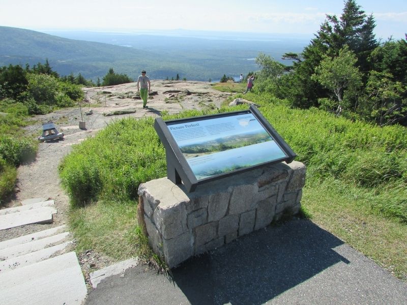
Location. 44° 21.182′ N, 68° 13.52′ W. Marker is near Bar Harbor, Maine, in Hancock County. It is on Cadillac Summit Road. Marker is located at the north end of the parking lot on the summit of Cadillac Mountain. Touch for map. Marker is in this post office area: Bar Harbor ME 04609, United States of America. Touch for directions.

Regionally, this marker is on Mount Desert Island and in Downeast Maine. It is also in the American Northeast, in New England, and on the Eastern Seaboard. Globally, it is in the North Atlantic Region, North America, the Great North Woods, the Western Hemisphere, the Western World, and the Anglosphere. Historically, it finds itself in what was once the Viceroyalty of New France and also Acadia.
Other nearby markers. At least 8 other markers are within one mile of
Photographed by Bill Coughlin, July 10, 2017
2. Picture Perfect? Marker
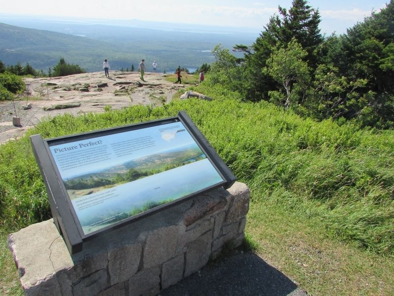
More about this marker. The background of the marker contains photographs of the view from the marker on a normal day and on a hazy day.
Photographed by Bill Coughlin, July 10, 2017
3. Marker on Cadillac Mountain
Photographed by Bill Coughlin, July 10, 2017
4. View from the Marker
Credits. This page was last revised on September 21, 2020. It was originally submitted on July 21, 2017, by Bill Coughlin of Woodland Park, New Jersey. This page has been viewed 419 times since then and 14 times this year. Photos: 1, 2, 3, 4. submitted on July 21, 2017, by Bill Coughlin of Woodland Park, New Jersey.
