Rock Creek Park in Northwest Washington in Washington, District of Columbia — The American Northeast (Mid-Atlantic)
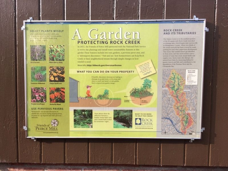
A Garden Protecting Rock Creek

Photographed By Devry Becker Jones (CC0), December 17, 2017
1. A Garden Protecting Rock Creek Marker
In 2011, the Friends of Peirce Mill partnered with the National Park Service to revive the plantings and install water sustainability features at this garden. These features include two rain gardens, a pervious paver area, and a "downspout disconnect." Visit and see how homeowners can help Rock Creek or their neighborhood stream through simple changes in how rainfall is used.
More info: http:/ddoe.dc.gov/riversmarthomes
Erected by Friends of Peirce Mill.
Topics. This historical marker is listed in these topic lists: Environment • Parks & Recreational Areas • Roads & Vehicles • Waterways & Vessels. A significant historical year for this entry is 2011.
Location. 38° 57.589′ N, 77° 3.091′ W. Marker is in Northwest Washington in Washington, District of Columbia. It is in Rock Creek Park. Marker can be reached from Glover Road Northwest north of Maintenance Road Northwest, on the right when traveling north. On the grounds of the Rock Creek Park Nature Center and Planetarium in Rock Creek Park. Touch for map. Marker is at or near this postal address: 5200 Glover Road Northwest, Washington DC 20015, United States of America. Touch for directions.
Other nearby markers. At least 8 other markers are within walking distance of this marker. Fort De Russy (approx. 0.2 miles away); Fort DeRussy (approx. ¼ mile away); a different marker also named Fort DeRussy (approx. ¼ mile away); Tupelo Tree (approx. 0.4 miles away); Herring Highway (approx. 0.4 miles away); a different marker also named Herring Highway (approx. 0.8 miles away); Flora and Fauna of Rock Creek Park (approx. 0.9 miles away); Broad Branch Market (approx. one mile away). Touch for a list and map of all markers in Northwest Washington.

Photographed By Devry Becker Jones (CC0), December 17, 2017
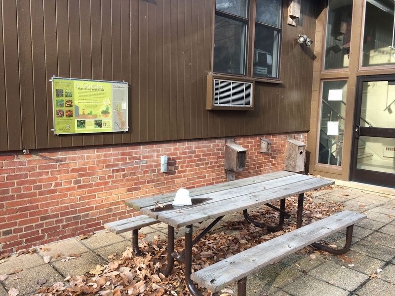
2. A Garden Protecting Rock Creek Marker
Credits. This page was last revised on January 30, 2023. It was originally submitted on December 17, 2017, by Devry Becker Jones of Washington, District of Columbia. This page has been viewed 179 times since then and 7 times this year. Photos: 1, 2. submitted on December 17, 2017, by Devry Becker Jones of Washington, District of Columbia. • Bill Pfingsten was the editor who published this page.