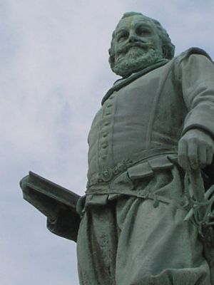
Near Williamsburg in James City County, Virginia — The American South (Mid-Atlantic)
Captain John Smith
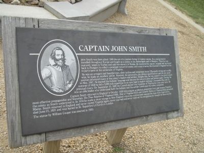
He was an arrogant and boastful man, often tactless and sometimes brutal. Physically strong and worldly wise, he made an excellent settler. However, his personality, his obvious qualifications and his low social position infuriated many of the colony’s leaders and settlers. Despite this, he was named to the first Council in May, 1607. He learned the Indians’ language and became the colony’s principal Indian trader. During the summer of 1608 he led a 3,000 mile expedition in an open boat to explore and map Chesapeake Bay and its principal rivers. On September 10, 1608 the Council elected him Governor of Virginia for a one-year term. He was an able leader who understood both the Indians and the settlers’ needs and the colony prospered.
Captain Smith returned to England in October, 1609 following an accidental gunpowder burn and became Virginia’s most effective propagandist and historian. His True Relation of Virginia (1608), Map of Virginia (1612) and General History of Virginia (1624) presented the colony as Smith understood it. In 1614 he made a short voyage to New England where he explored and mapped the coast from Cape Cod to Maine. Smith returned to England and never visited Virginia again, never married and never received the recognition he thought he deserved. He died June 21, 1631 and was buried in St. Sepulchre’s Church in London.
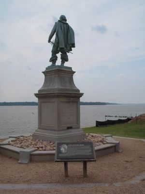
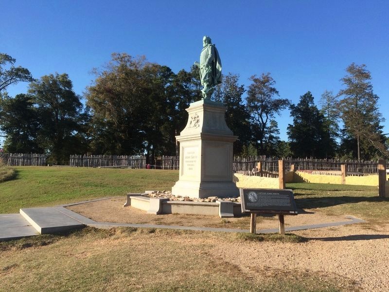
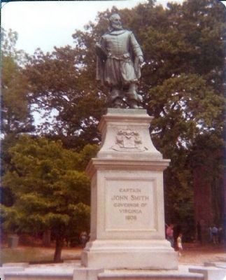
The statue by William Couper was erected in 1909.
Erected by Colonial National Historical Park, National Park Service.
Topics. This historical marker is listed in these topic lists: Arts, Letters, Music • Colonial Era • Industry & Commerce • Native Americans • Settlements & Settlers • Waterways & Vessels. A significant historical month for this entry is May 1607.
Location. 37° 12.498′ N, 76° 46.727′ W. Marker is near Williamsburg, Virginia, in James City County. Marker can be reached from Colonial Parkway, on the right when traveling west. Marker is in the "Old Towne" section of the Historic Jamestown unit of Colonial National Historic Park. Touch for map. Marker is in this post office area: Williamsburg VA 23185, United States of America. Touch for directions.
Other nearby markers. At least 8 other markers are within walking distance of this marker. A different marker also named Captain John Smith (here, next to this marker); Palisades
(a few steps from this marker); 1608 Church (within shouting distance of this marker); Storehouse & First Well (within shouting distance of this marker); Church Tower (within shouting distance of this marker); The Barracks (within shouting distance of this marker); The First General Assembly of Virginia (within shouting distance of this marker); a different marker also named Barracks (within shouting distance of this marker). Touch for a list and map of all markers in Williamsburg.
More about this marker. The upper left of the marker contains a portrait of Captain John Smith at age 37, done in 1616.
Also see . . .
1. Historic Jamestowne. Colonial National Historic Park from National Park Service website. (Submitted on September 11, 2008, by Bill Coughlin of Woodland Park, New Jersey.)
2. Historic Jamestowne. Historic Jamestowne is the site of the first permanent English settlement in America. The site is jointly administered by APVA Preservation Virginia and the National Park Service. (Submitted on September 11, 2008, by Bill Coughlin of Woodland Park, New Jersey.)
3. Wikipedia Entry for John Smith. “During the voyage, Smith was charged with mutiny, and Captain Christopher Newport (in charge of the three ships) had planned to execute him. Fortunately for Smith, upon first landing at what is now Cape Henry on 26 April 1607, unsealed orders from the Virginia Company designated Smith to be one of the leaders of the new colony, thus, perhaps, sparing Smith from the gallows.” (Submitted on September 9, 2017.)
Credits. This page was last revised on December 25, 2019. It was originally submitted on September 11, 2008, by Bill Coughlin of Woodland Park, New Jersey. This page has been viewed 1,811 times since then and 34 times this year. Photos: 1, 2. submitted on September 11, 2008, by Bill Coughlin of Woodland Park, New Jersey. 3. submitted on December 1, 2016, by J. Makali Bruton of Accra, Ghana. 4. submitted on September 11, 2008, by Bill Coughlin of Woodland Park, New Jersey. 5. submitted on September 11, 2008, by Mike Stroud of Bluffton, South Carolina. 6. submitted on September 11, 2008, by Bill Coughlin of Woodland Park, New Jersey.
