Near Holbrook in Oneida County, Idaho — The American West (Mountains)
Twin Springs Historic Site
Curlew National Grassland
Photographed by Barry Swackhamer, May 14, 2018
1. Twin Springs Historic Site Marker
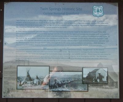
Captions: (bottom, left to right) Shoshoni Camp; Overland Wagon Train; Early Homestead.
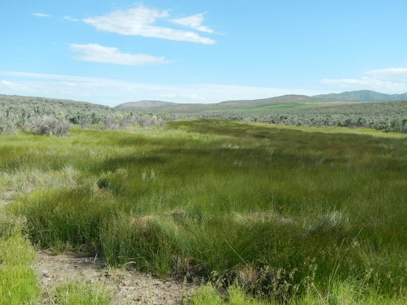
Twin Springs is an oasis amid rolling hills of sagebrush; or as the early pioneers described "an endless sea of Artemisia". Wildlife, birds and people are drawn to Twin Springs' still water and rich grasses. Indigenous people traveled this valley with the buffalo thousands of years ago. The springs served as a reliable watering spot for the nomadic bands moving between the Inland Sea (Great Salt Lake) and the Camass prairie to the north.
In 1849, Benoni Hudspeth and John Meyers believed that there was a shorter route to the Sierra Nevada goldfields; they pioneered a western cutoff between Soda Springs and City of Rocks for the legions of immigrants heading south to California. The short-cut proves more difficult and saved only twenty-five miles of travel over the previous northwest Fort Hall route. In the rush to the gold fields, miners and other immigrants took the new "Hudspeth Cutoff" by the thousands between 1849 and 1859. The trail was abandoned with the coming of the railways and the wagon road established between Salt Lake and the Montana gold mines through Marsh Valley and Eagle Rock; the same route as today's
this page online
The Curlew National Grassland is a patch-work of lands in the Arbon and Curlew Valleys, "bought back" by the federal government between 1934 and 1942 from former homestead lands, The Grassland is managed by the Caribou-Targhee National Forest. The lands are managed for sustainable range, recreation and wildlife habitat. Please keep this area clean for the next traveler and do not pick up or disturb artifacts or other historic objects. In an emergency call 911. The Westside Ranger District can be reached at 208.236.7500. The district office is located in Pocatello, ID at 4350 Cliffs Drive, office hours are Monday thru Friday from 8:00 am to 4:30 pm, closed federal holidays.
Erected by Forest Service, U.S. Department of Agriculture.
Topics and series. This historical marker is listed in these topic lists: Indigenous Peoples and Communities • Natural Features • Roads & Vehicles • Waterways & Vessels. In addition, it is included in the California Trail series
Photographed by Barry Swackhamer, May 14, 2018
2. Twin Springs Historic Site Marker
Location. 42° 15.81′ N, 112° 45.924′ W. Marker is near Holbrook, Idaho, in Oneida County. It is on Blanch Spring Road near Old Highway 37. Touch for map. Marker is in this post office area: Holbrook ID 83243, United States of America. Touch for directions.

Regionally, this marker is in Bear River Country. It is also in the American Mountain West. Globally, it is in North America, the Western Hemisphere, the Western World, and the Anglosphere.
Other nearby markers. At least 2 other markers are within 15 miles of this marker, measured as the crow flies: Twin Springs (approx. 0.2 miles away); Lake Bonneville (approx. 15 miles away).
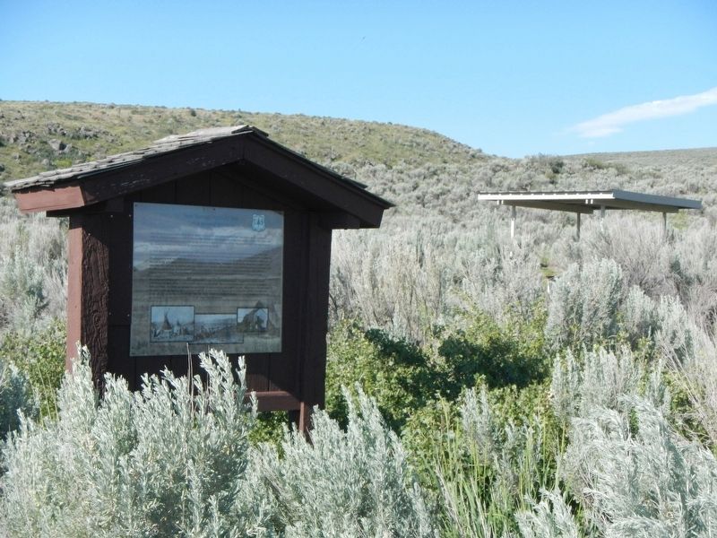
More about this marker. This marker is located at the Twin Springs Campground in Curlew National Grassland.
Photographed by Barry Swackhamer, May 14, 2018
3. Twin Springs
Credits. This page was last revised on December 29, 2024. It was originally submitted on October 2, 2018, by Barry Swackhamer of Brentwood, California. This page has been viewed 1,019 times since then and 111 times this year. Photos: 1, 2, 3. submitted on October 2, 2018, by Barry Swackhamer of Brentwood, California.
