Bradenton in Manatee County, Florida — The American South (South Atlantic)
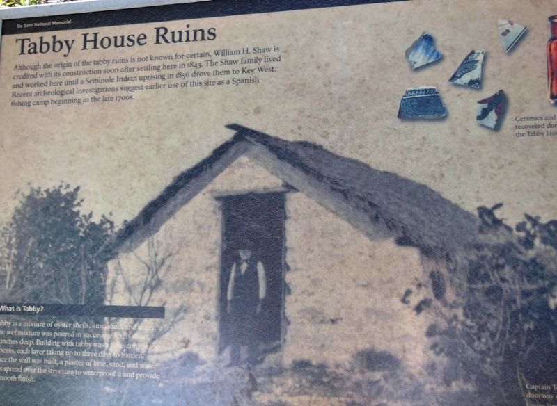
Tabby House Ruins
De Soto National Memorial
Photographed by Cosmos Mariner, December 20, 2012
1. Tabby House Ruins Marker
What is Tabby?
Tabby is a mixture of oyster shells, lime, sand and water. The wet mixture was poured in successive levels about 6 inches deep. Building with tabby was a time-consuming process, each layer taking up to three days to harden. Once the wall was built, a plaster of lime, sand, and water was spread over the structure to waterproof it and provide a smooth finish.
Erected by National Park Service, U.S. Department of the Interior.
Topics. This historical marker is listed in these topic lists: Anthropology & Archaeology • Colonial Era • Hispanic Americans • Indigenous Peoples and Communities. A significant historical year for this entry is 1843.
Location. Marker has been permanently removed. It was located near 27° 31.488′ N, 82° 38.515′ W.
this page online
We have been informed that this marker is no longer there and will not be replaced. This page is an archival view of what was.
Regionally, this marker was on Florida’s Gulf Coast and on Tampa Bay. It was also in the American South and on the Gulf Coast. Globally, it was in the North Atlantic Region, North America, a Gulf of Mexico state, the Western Hemisphere, the Western World, and the Anglosphere. Historically, it found itself in what was once New Spain, the territory of the Mississippian Culture, one of the Confederate States of America, and the Antebellum South.

Other nearby markers. At least 8 other markers are within
Photographed by Cosmos Mariner, December 20, 2012
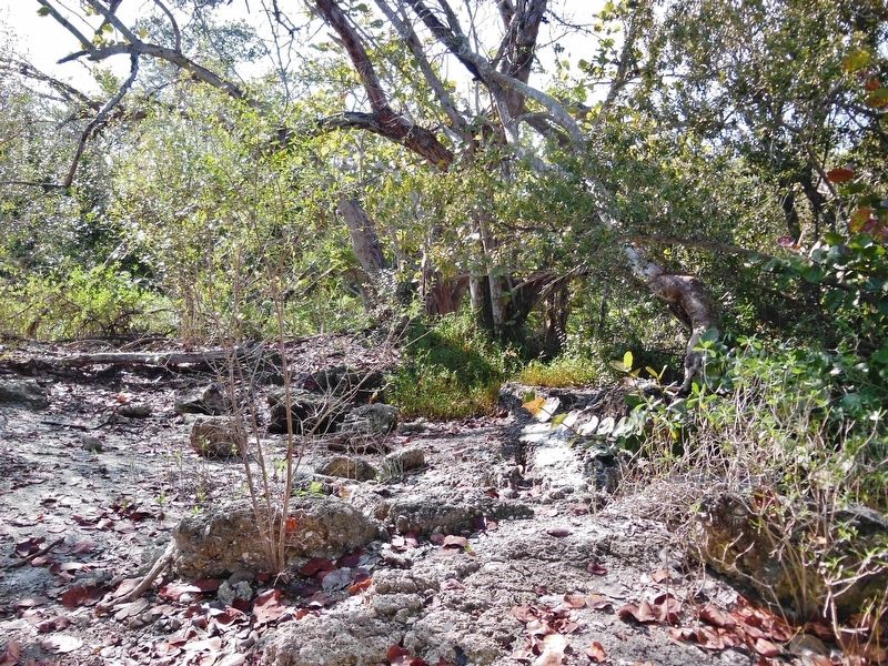
2. Tabby House Ruins (located beside marker)
Another marker is no longer nearby. De Soto Point (was about 300 feet away but has been permanently removed).
Related markers. Click here for a list of markers that are related to this marker. De Soto National Memorial
Also see . . .
1. Tabby. Tabby is a type of building material used in the coastal Southeast from the late 1500s to the 1850s. True tabby is made of equal parts lime, water, sand, oyster shells, and ash. The ash is a byproduct of preparing the lime, but its presence contributes to the hardening of the end product. Tabby can be poured into molds for foundations, walls, floors,
Photographed by Cosmos Mariner, December 20, 2012
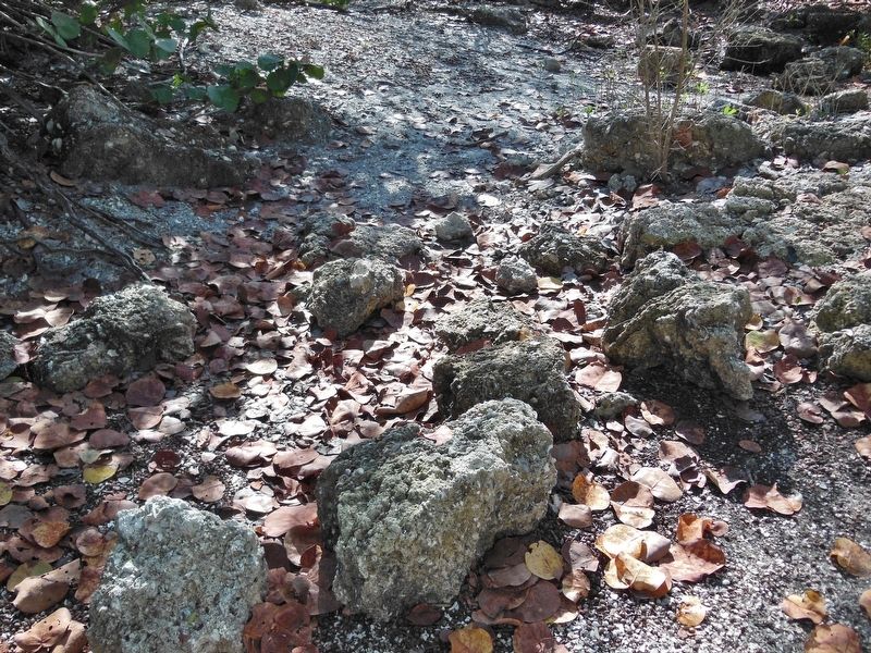
3. Tabby House Ruins (located beside marker)
2. Tabby house ruin listed on the National Register of Historic Places. Two historic structures are currently identified in the park: the 400th anniversary monument and the Tabby House Ruins. (Submitted on October 24, 2018, by Cosmos Mariner of Cape Canaveral, Florida.)
Credits. This page was last revised on March 11, 2026. It was originally submitted on October 24, 2018, by Cosmos Mariner of Cape Canaveral, Florida. This page has been viewed 2,567 times since then and 239 times this year. Photos: 1, 2, 3. submitted on October 24, 2018, by Cosmos Mariner of Cape Canaveral, Florida. • Bernard Fisher was the editor who published this page.
