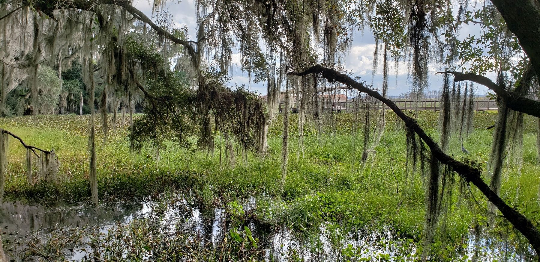
Gainesville in Alachua County, Florida — The American South (South Atlantic)
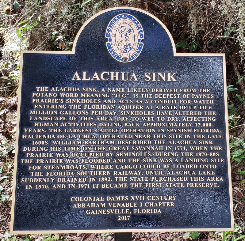
Alachua Sink
Abraham Venable I Chapter
Gainesville, Florida
2017
Erected 2017 by Colonial Dames XVII Century, Abraham Venable I Chapter, Gainesville, Florida.
Topics and series. This historical marker is listed in these topic lists: Agriculture • Native Americans • Natural Features • Parks & Recreational Areas • Waterways & Vessels. In addition, it is included in the The Colonial Dames XVII Century, National Society series list.
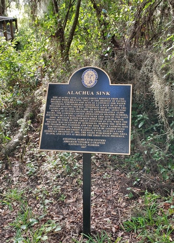
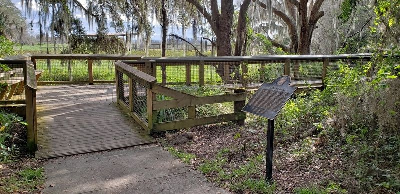
Location. 29° 36.409′ N, 82° 18.173′ W. Marker is in Gainesville, Florida, in Alachua County. Marker can be reached from Southeast 15th Street (Camp Ranch Road), 0.4 miles south of Southeast 41st Avenue when traveling south. Marker, and subject Alachua Sink, are located on the La Chua Trail, in Paynes Prairie Preserve State Park, 1/4 mile south (by foot only) of the La Chua Trailhead. Touch for map. Marker is at or near this postal address: 4270 Southeast 15th Street, Gainesville FL 32641, United States of America. Touch for directions.
Other nearby markers. At least 8 other markers are within 3 miles of this marker, measured as the crow flies. Living Links to Florida's Past (within shouting distance of this marker); A Cattle Economy (about 300 feet away, measured in a direct line); Trains Rumbled Overhead (about 700 feet away); Gainesville’s Only Artesian Spring (approx. one mile away); Boulware Springs Water Works Building (approx. one mile away); Jesse Johnson Finley (approx. 1.6 miles away); Evergreen Cemetery (approx. 1.9 miles away); Serenola Plantation (approx. 2½ miles away). Touch for a list and map of all markers in Gainesville.
Also see . . .
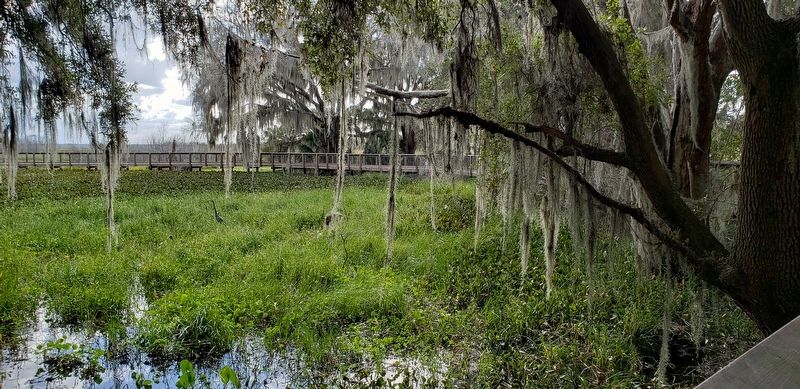
1. Paynes Prairie Preserve State Park. The Paynes Prairie basin's primary source of drainage is Alachua Sink. During occasional wet periods, the basin will become full. A notable period occurred from 1871 to 1891 when the Alachua Sink was temporarily blocked. During this period, shallow draft steamboats were a frequent sight on Alachua Lake in the center of the prairie. (Submitted on November 13, 2018, by Cosmos Mariner of Cape Canaveral, Florida.)
2. La Chua Trail. Paynes Prairie is a massive landform in North Florida visited and written about by William Bartram in 1774, with an unusual twist for a prairie—it has a drain. That drain is called Alachua Sink, and every once in a while it clogs up, turning the prairie into a lake. In times of drought, water collects at this end of the prairie, as do the alligators. (Submitted on November 13, 2018, by Cosmos Mariner of Cape Canaveral, Florida.)
Credits. This page was last revised on November 15, 2018. It was originally submitted on November 13, 2018, by Cosmos Mariner of Cape Canaveral, Florida. This page has been viewed 1,961 times since then and 306 times this year. Photos: 1, 2, 3, 4, 5. submitted on November 13, 2018, by Cosmos Mariner of Cape Canaveral, Florida. • Andrew Ruppenstein was the editor who published this page.
